McDonalds Hill
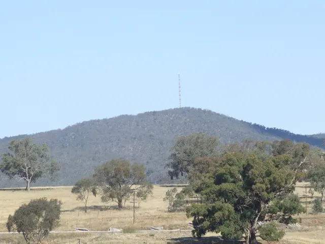
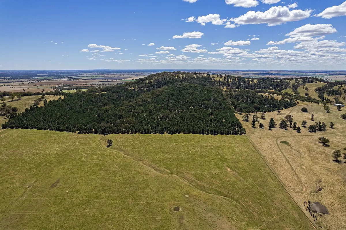
McDonalds Hill is a mountain & peak about 12 km from Mullion Creek, New South Wales. Location data © OpenStreetMap contributors, available under the ODbL.
AustraliaWeb: Your Guide to Accessible & Family Travel in Australia
McDonalds Hill is a mountain & peak about 12 km from Mullion Creek, New South Wales. Location data © OpenStreetMap contributors, available under the ODbL.
Grosses Hill is a mountain & peak about 13 km from Tarago, New South Wales. It rises to about 813 m above sea level. Location data © OpenStreetMap contributors, available under the ODbL.
Hammonds Hill is a mountain & peak about 13 km from Bungendore, New South Wales. It rises to about 922 m above sea level. Location data © OpenStreetMap contributors, available under the ODbL.
Mount Ulandra is a mountain & peak about 8 km from Bethungra, New South Wales. It rises to about 761 m above sea level. Location data © OpenStreetMap contributors, available under the ODbL.
Lighthouse Hill is a mountain & peak about 4 km from The Gap, New South Wales. It rises to about 388 m above sea level. Location data © OpenStreetMap contributors, available under the ODbL.
Big Badja Hill is a mountain & peak in New South Wales. It rises to about 1362 m above sea level. Location data © OpenStreetMap contributors, available under the ODbL.
Aberfoyle Sugarloaf is a mountain & peak in New South Wales. It rises to about 1323 m above sea level. Location data © OpenStreetMap contributors, available under the ODbL.
Bald Hill is a mountain & peak in New South Wales. It rises to about 212 m above sea level. Location data © OpenStreetMap contributors, available under the ODbL.
Bald Hill is a mountain & peak about 3 km from Toogong, New South Wales. It rises to about 430 m above sea level. Location data © OpenStreetMap contributors, available under the ODbL.
Bald Hill is a mountain & peak about 8 km from Forbes, New South Wales. It rises to about 305 m above sea level. Location data © OpenStreetMap contributors, available under the ODbL.