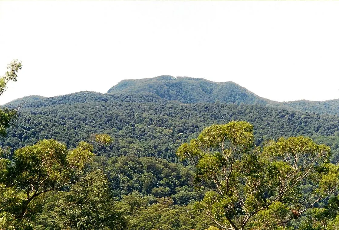
McDonalds Hill
McDonalds Hill is a mountain & peak about 12 km from Mullion Creek, New South Wales. Location data © OpenStreetMap contributors, available under the ODbL.
AustraliaWeb: Your Guide to Accessible & Family Travel in Australia
McDonalds Hill is a mountain & peak about 12 km from Mullion Creek, New South Wales. Location data © OpenStreetMap contributors, available under the ODbL.
Boor Hill is a mountain & peak about 24 km from Peak Hill, New South Wales. It rises to about 364 m above sea level. Location data © OpenStreetMap contributors, available under the ODbL.
Molong Sugarloaf is a mountain & peak about 13 km from Canowindra, New South Wales. Location data © OpenStreetMap contributors, available under the ODbL.
Brumlow Top is a mountain & peak about 22 km from Moonan Flat, New South Wales. It rises to about 1586 m above sea level. Location data © OpenStreetMap contributors, available under the ODbL.
Mount Banda Banda is a mountain & peak about 17 km from Kookaburra, New South Wales. It rises to about 1258 m above sea level. Location data © OpenStreetMap contributors, available under the ODbL.
Buckeroo Mountain is a mountain & peak in New South Wales. It rises to about 208 m above sea level. Location data © OpenStreetMap contributors, available under the ODbL.
Mount Britannia is a mountain & peak about 15 km from Orange, New South Wales. Location data © OpenStreetMap contributors, available under the ODbL.
Byong Hills is a mountain & peak about 17 km from Trundle, New South Wales. It rises to about 345 m above sea level. Location data © OpenStreetMap contributors, available under the ODbL.
Mount Bulga is a mountain & peak about 3 km from Clifton Grove, New South Wales. It rises to about 1062 m above sea level. Location data © OpenStreetMap contributors, available under the ODbL.
Eagle Rock Hill is a mountain & peak about 7 km from Manildra, New South Wales. It rises to about 730 m above sea level. Location data © OpenStreetMap contributors, available under the ODbL.