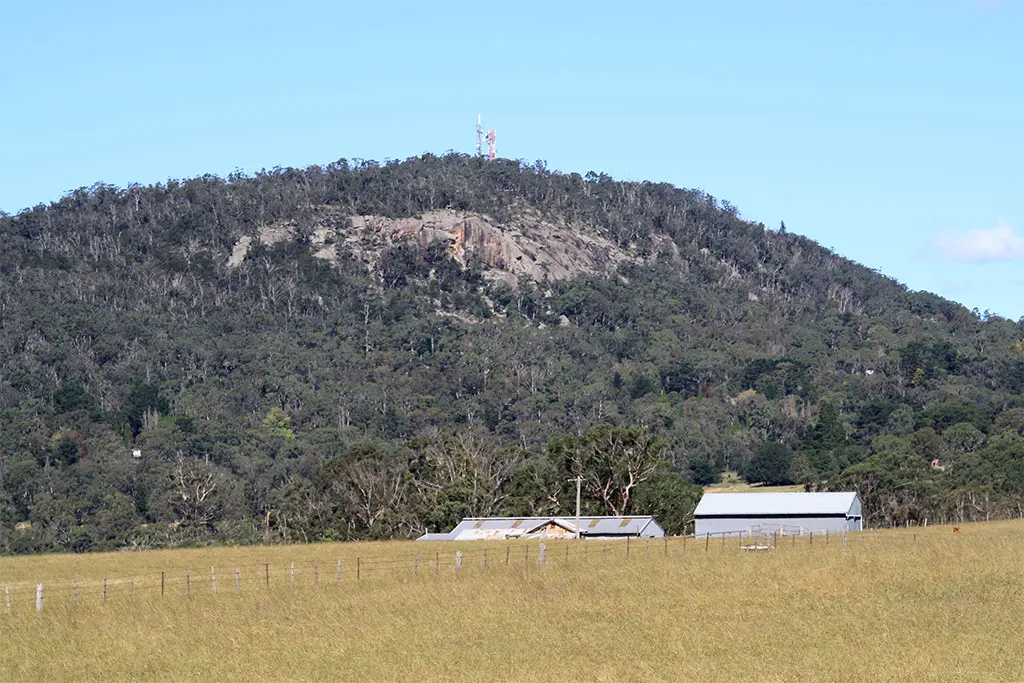
Mount Dromedary / Gulaga
Mount Dromedary / Gulaga is a mountain & peak about 4 km from Tilba Tilba, New South Wales. Location data © OpenStreetMap contributors, available under the ODbL.
AustraliaWeb: Your Guide to Accessible & Family Travel in Australia
Mount Dromedary / Gulaga is a mountain & peak about 4 km from Tilba Tilba, New South Wales. Location data © OpenStreetMap contributors, available under the ODbL.
Mount Coree is a mountain & peak in New South Wales. It rises to about 1421 m above sea level. Location data © OpenStreetMap contributors, available under the ODbL.
Mount Keira is a mountain & peak near Mount Keira, New South Wales. It rises to about 469 m above sea level. Location data © OpenStreetMap contributors, available under the ODbL.
Mount Brisbane is a mountain & peak about 2 km from Mount Keira, New South Wales. It rises to about 469 m above sea level. Location data © OpenStreetMap contributors, available under the ODbL.
Aeroplane Hills is a mountain & peak about 4 km from Hazelbrook, New South Wales. Location data © OpenStreetMap contributors, available under the ODbL.
Mount Allyn is a mountain & peak about 16 km from Salisbury, New South Wales. Location data © OpenStreetMap contributors, available under the ODbL.
Mount Nebo is a mountain & peak about 1 km from Figtree, New South Wales. It rises to about 252 m above sea level. Location data © OpenStreetMap contributors, available under the ODbL.
Mount Meehan is a mountain & peak about 5 km from Mullion Creek, New South Wales. Location data © OpenStreetMap contributors, available under the ODbL.
Mount McQuoid is a mountain & peak about 14 km from Cedar Brush Creek, New South Wales. Location data © OpenStreetMap contributors, available under the ODbL.
Mount Gibraltar is a mountain & peak about 2 km from Bowral, New South Wales. It rises to about 868 m above sea level. Location data © OpenStreetMap contributors, available under the ODbL.