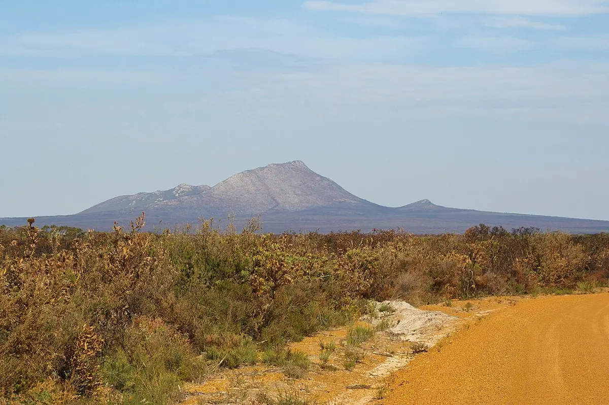
West Mount Barren
West Mount Barren is a mountain & peak about 20 km from Bremer Bay, Western Australia. It rises to about 323 m above sea level. Location data © OpenStreetMap contributors, available under the ODbL.
AustraliaWeb: Your Guide to Accessible & Family Travel in Australia
West Mount Barren is a mountain & peak about 20 km from Bremer Bay, Western Australia. It rises to about 323 m above sea level. Location data © OpenStreetMap contributors, available under the ODbL.
Dampier Hill is a mountain & peak about 24 km from Bidan, Western Australia. Location data © OpenStreetMap contributors, available under the ODbL.
Wheelarra Hill is a mountain & peak in Western Australia. It rises to about 727 m above sea level. Location data © OpenStreetMap contributors, available under the ODbL.
King Peaks is a mountain & peak about 24 km from Bobieding, Western Australia. It rises to about 94 m above sea level. Location data © OpenStreetMap contributors, available under the ODbL.
White Hill is a mountain & peak about 5 km from South Hedland, Western Australia. It rises to about 29 m above sea level. Location data © OpenStreetMap contributors, available under the ODbL.
Mount Clarkson is a mountain & peak about 18 km from Bidan, Western Australia. It rises to about 94 m above sea level. Location data © OpenStreetMap contributors, available under the ODbL.
White Peak is a mountain & peak about 3 km from Dampier, Western Australia. Location data © OpenStreetMap contributors, available under the ODbL.
Mount Jowlaenga is a mountain & peak in Western Australia. It rises to about 145 m above sea level. Location data © OpenStreetMap contributors, available under the ODbL.
Mt Rough is a mountain & peak in Western Australia. It rises to about 66 m above sea level. Location data © OpenStreetMap contributors, available under the ODbL.
Quartz Hill is a mountain & peak in Western Australia. Location data © OpenStreetMap contributors, available under the ODbL.