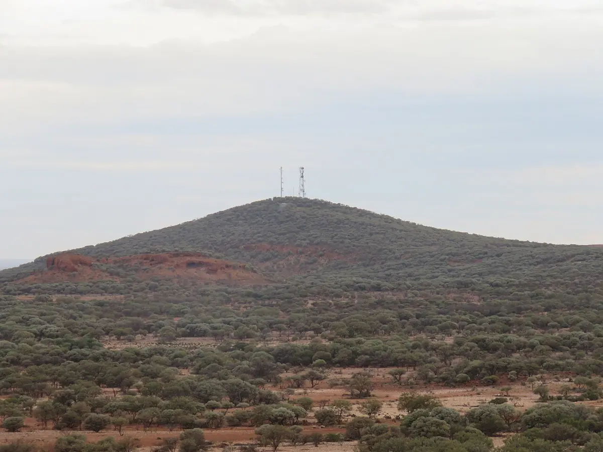
Wadderin Hill
Wadderin Hill is a mountain & peak about 8 km from Narembeen, Western Australia. Location data © OpenStreetMap contributors, available under the ODbL.
AustraliaWeb: Your Guide to Accessible & Family Travel in Australia
Wadderin Hill is a mountain & peak about 8 km from Narembeen, Western Australia. Location data © OpenStreetMap contributors, available under the ODbL.
Yanneymooning Hill is a mountain & peak in Western Australia. It rises to about 435 m above sea level. Location data © OpenStreetMap contributors, available under the ODbL.
Wallbrook Hill is a mountain & peak in Western Australia. Location data © OpenStreetMap contributors, available under the ODbL.
Yilmia Hill is a mountain & peak about 9 km from Kambalda West, Western Australia. It rises to about 446 m above sea level. Location data © OpenStreetMap contributors, available under the ODbL.
Warramboo Hill is a mountain & peak about 5 km from Mount Magnet, Western Australia. Location data © OpenStreetMap contributors, available under the ODbL.
Mount Yokine is a mountain & peak about 1 km from Yokine, Western Australia. Location data © OpenStreetMap contributors, available under the ODbL.
Warriedar Hill is a mountain & peak in Western Australia. It rises to about 543 m above sea level. Location data © OpenStreetMap contributors, available under the ODbL.
Yorkrakine Rock is a mountain & peak in Western Australia. It rises to about 341 m above sea level. Location data © OpenStreetMap contributors, available under the ODbL.
Weerianna Hill is a mountain & peak about 3 km from Roebourne, Western Australia. Location data © OpenStreetMap contributors, available under the ODbL.
Bells Tower is a mountain & peak in Western Australia. It rises to about 142 m above sea level. Location data © OpenStreetMap contributors, available under the ODbL.