Blenheim Hill
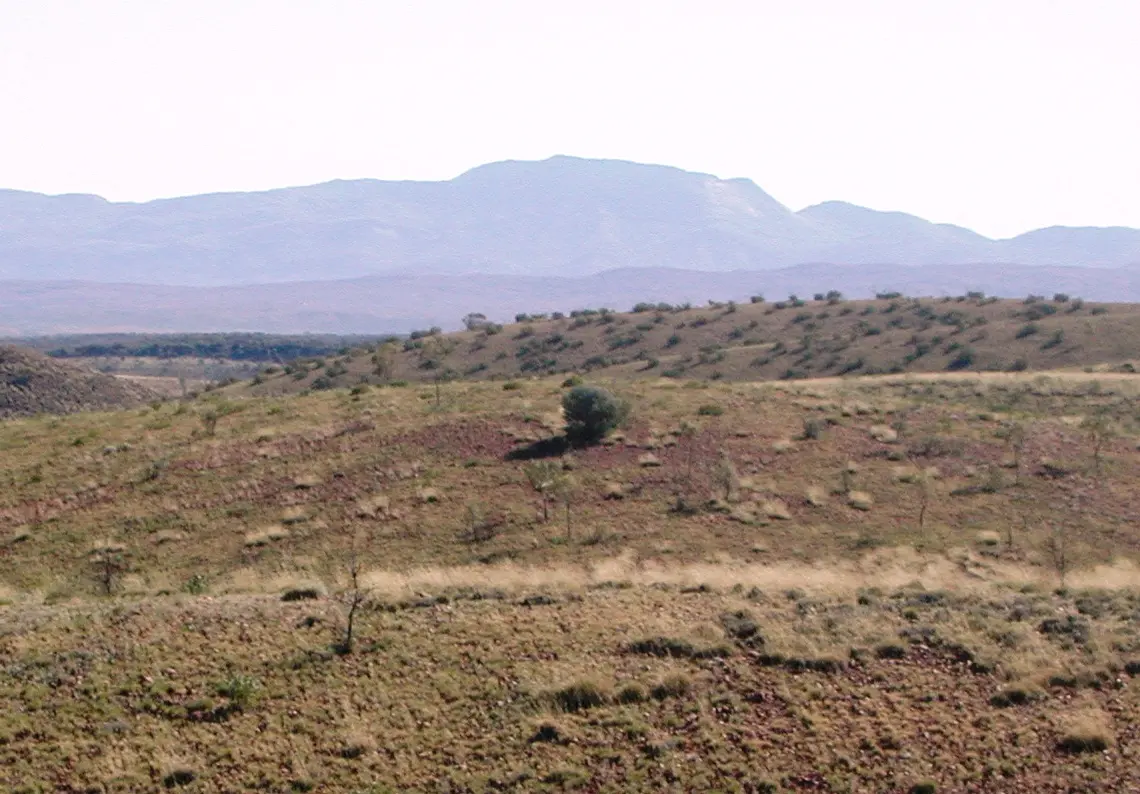
Blenheim Hill is a mountain & peak in the Northern Territory. It rises to about 243 m above sea level. Location data © OpenStreetMap contributors, available under the ODbL.
AustraliaWeb: Your Guide to Accessible & Family Travel in Australia
Blenheim Hill is a mountain & peak in the Northern Territory. It rises to about 243 m above sea level. Location data © OpenStreetMap contributors, available under the ODbL.
Boon Hill is a mountain & peak in the Northern Territory. It rises to about 375 m above sea level. Location data © OpenStreetMap contributors, available under the ODbL.
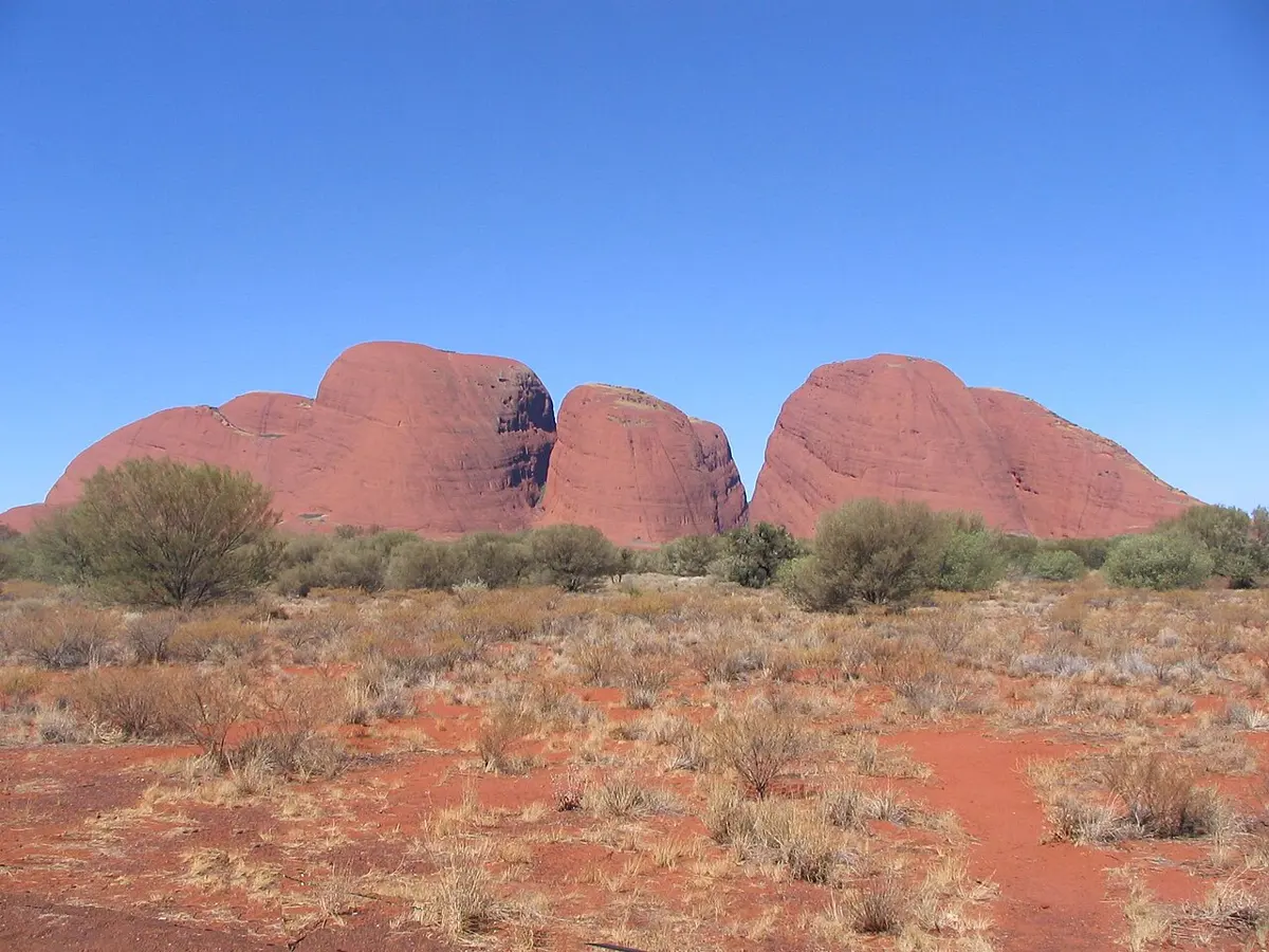
Kata Tjuṯa is a mountain & peak in the Northern Territory. It rises to about 1066 m above sea level. Location data © OpenStreetMap contributors, available under the ODbL.
Mount Leisler is a mountain & peak about 7 km from Kintore, the Northern Territory. It rises to about 897 m above sea level. Location data © OpenStreetMap contributors, available under the ODbL.
Mount Mein is a mountain & peak in the Northern Territory. It rises to about 576 m above sea level. Location data © OpenStreetMap contributors, available under the ODbL.
Mount Zeil is a mountain & peak in the Northern Territory. It rises to about 1531 m above sea level. Location data © OpenStreetMap contributors, available under the ODbL.
Winter Hill is a mountain & peak about 4 km from Port Lincoln, South Australia. It rises to about 225 m above sea level. Location data © OpenStreetMap contributors, available under the ODbL.
Sugarloaf Hill is a mountain & peak about 4 km from Kingston On Murray, South Australia. Location data © OpenStreetMap contributors, available under the ODbL.
Black Jack Hill is a mountain & peak about 18 km from Hawker, South Australia. Location data © OpenStreetMap contributors, available under the ODbL.
Yuralypila is a mountain & peak about 8 km from Hawker, South Australia. It rises to about 532 m above sea level. Location data © OpenStreetMap contributors, available under the ODbL.