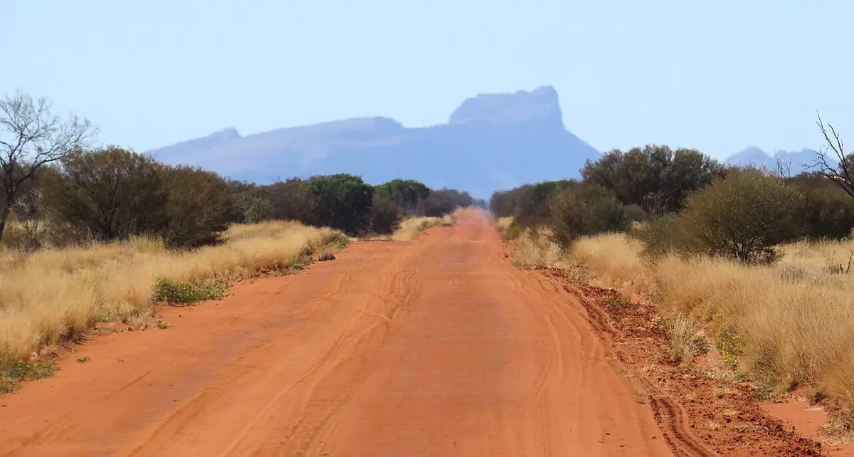
Mount Hogarth
Mount Hogarth is a mountain & peak in the Northern Territory. It rises to about 330 m above sea level. Location data © OpenStreetMap contributors, available under the ODbL.
AustraliaWeb: Your Guide to Accessible & Family Travel in Australia
Mount Hogarth is a mountain & peak in the Northern Territory. It rises to about 330 m above sea level. Location data © OpenStreetMap contributors, available under the ODbL.
Mount Johns is a mountain & peak about 2 km from Mount Johns, the Northern Territory. Location data © OpenStreetMap contributors, available under the ODbL.
Mount Liebig is a mountain & peak about 10 km from Mount Liebig, the Northern Territory. It rises to about 1267 m above sea level. Location data © OpenStreetMap contributors, available under the ODbL.
Mount Rawlins is a mountain & peak in the Northern Territory. It rises to about 508 m above sea level. Location data © OpenStreetMap contributors, available under the ODbL.
Mount Stott is a mountain & peak in the Northern Territory. It rises to about 535 m above sea level. Location data © OpenStreetMap contributors, available under the ODbL.
Mount Windajong is a mountain & peak in the Northern Territory. It rises to about 564 m above sea level. Location data © OpenStreetMap contributors, available under the ODbL.
Blenheim Hill is a mountain & peak in the Northern Territory. It rises to about 243 m above sea level. Location data © OpenStreetMap contributors, available under the ODbL.
Boon Hill is a mountain & peak in the Northern Territory. It rises to about 375 m above sea level. Location data © OpenStreetMap contributors, available under the ODbL.
Briggs Hill is a mountain & peak in the Northern Territory. It rises to about 224 m above sea level. Location data © OpenStreetMap contributors, available under the ODbL.
Cullen Lookout is a mountain & peak in the Northern Territory. It rises to about 256 m above sea level. Location data © OpenStreetMap contributors, available under the ODbL.