Mount Fraser
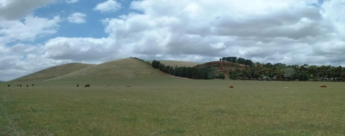
Mount Fraser is a mountain & peak about 1 km from Beveridge, Victoria. It rises to about 420 m above sea level. Location data © OpenStreetMap contributors, available under the ODbL.
AustraliaWeb: Your Guide to Accessible & Family Travel in Australia
Mount Fraser is a mountain & peak about 1 km from Beveridge, Victoria. It rises to about 420 m above sea level. Location data © OpenStreetMap contributors, available under the ODbL.
Mount Hedrick is a mountain & peak about 7 km from Coongulla, Victoria. It rises to about 450 m above sea level. Location data © OpenStreetMap contributors, available under the ODbL.
Rocky Knob is a mountain & peak about 14 km from Coongulla, Victoria. It rises to about 550 m above sea level. Location data © OpenStreetMap contributors, available under the ODbL.
Mount Gog is a mountain & peak about 11 km from Coongulla, Victoria. It rises to about 536 m above sea level. Location data © OpenStreetMap contributors, available under the ODbL.
Magog is a mountain & peak about 12 km from Coongulla, Victoria. It rises to about 571 m above sea level. Location data © OpenStreetMap contributors, available under the ODbL.
Little Ben is a mountain & peak about 12 km from Coongulla, Victoria. It rises to about 350 m above sea level. Location data © OpenStreetMap contributors, available under the ODbL.
De Moulin Knob is a mountain & peak about 25 km from Heyfield, Victoria. It rises to about 266 m above sea level. Location data © OpenStreetMap contributors, available under the ODbL.
Big Hill is a mountain & peak about 9 km from Licola, Victoria. It rises to about 450 m above sea level. Location data © OpenStreetMap contributors, available under the ODbL.
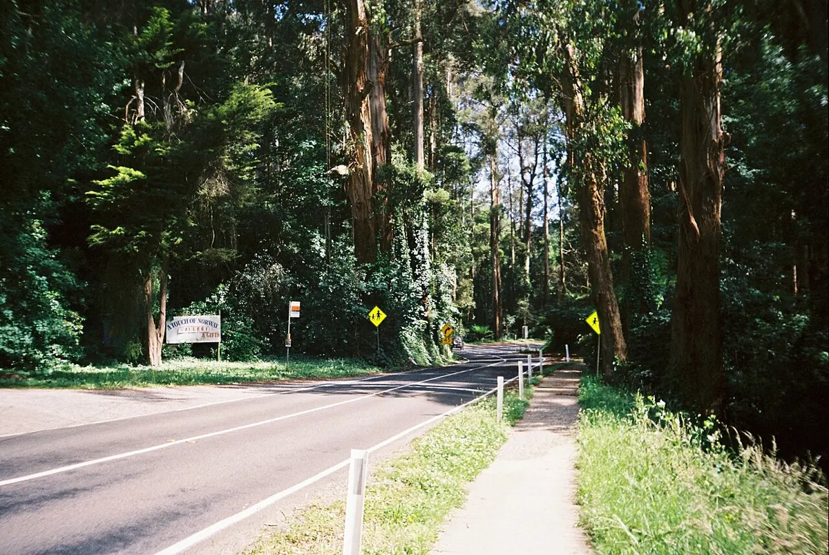
Mount Dandenong is a mountain & peak about 1 km from Mount Dandenong, Victoria. It rises to about 633 m above sea level. Location data © OpenStreetMap contributors, available under the ODbL.
Granite Hill is a mountain & peak about 6 km from Lexton, Victoria. It rises to about 506 m above sea level. Location data © OpenStreetMap contributors, available under the ODbL.