Mount Wilson
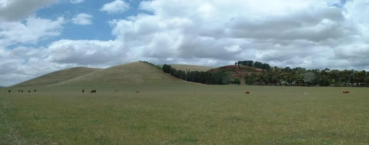
Mount Wilson is a mountain & peak in Victoria. It rises to about 705 m above sea level. Location data © OpenStreetMap contributors, available under the ODbL.
AustraliaWeb: Your Guide to Accessible & Family Travel in Australia
Mount Wilson is a mountain & peak in Victoria. It rises to about 705 m above sea level. Location data © OpenStreetMap contributors, available under the ODbL.
Mount Boulder is a mountain & peak in Victoria. It rises to about 501 m above sea level. Location data © OpenStreetMap contributors, available under the ODbL.
Mount Fainter South is a mountain & peak about 6 km from Bogong, Victoria. It rises to about 1861 m above sea level. Location data © OpenStreetMap contributors, available under the ODbL.
High Bow Hill is a mountain & peak about 4 km from Yarra Glen, Victoria. Location data © OpenStreetMap contributors, available under the ODbL.
Martins Hill is a mountain & peak in Victoria. It rises to about 292 m above sea level. Location data © OpenStreetMap contributors, available under the ODbL.
Mount Fraser is a mountain & peak about 1 km from Beveridge, Victoria. It rises to about 420 m above sea level. Location data © OpenStreetMap contributors, available under the ODbL.
Little Tamboritha is a mountain & peak about 13 km from Licola North, Victoria. It rises to about 1461 m above sea level. Location data © OpenStreetMap contributors, available under the ODbL.
Mount Tamboritha is a mountain & peak about 14 km from Licola North, Victoria. It rises to about 1509 m above sea level. Location data © OpenStreetMap contributors, available under the ODbL.
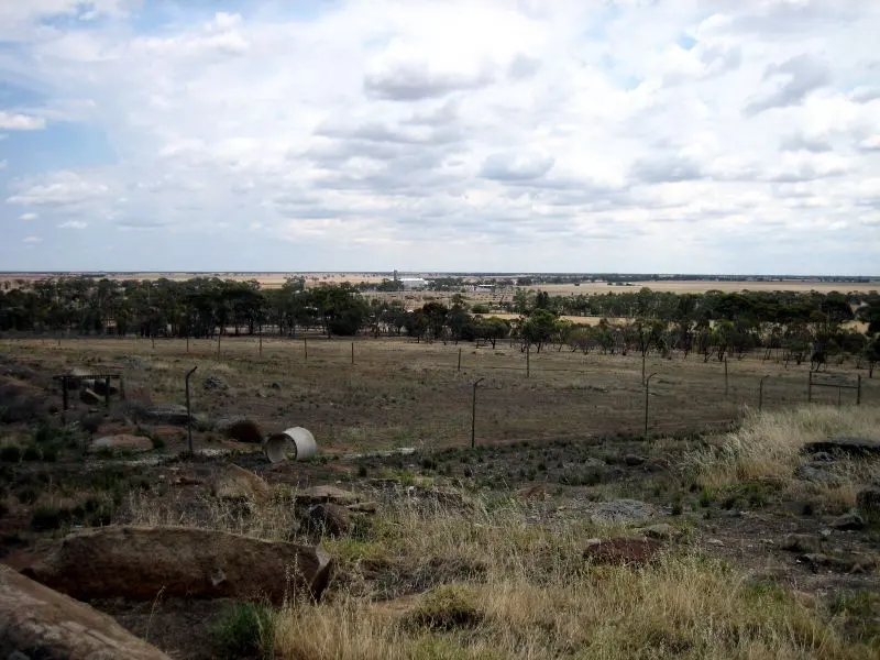
Mount Wycheproof is a mountain & peak near Wycheproof, Victoria. Location data © OpenStreetMap contributors, available under the ODbL.
Mount Graham is a mountain & peak about 3 km from Christmas Hills, Victoria. It rises to about 271 m above sea level. Location data © OpenStreetMap contributors, available under the ODbL.