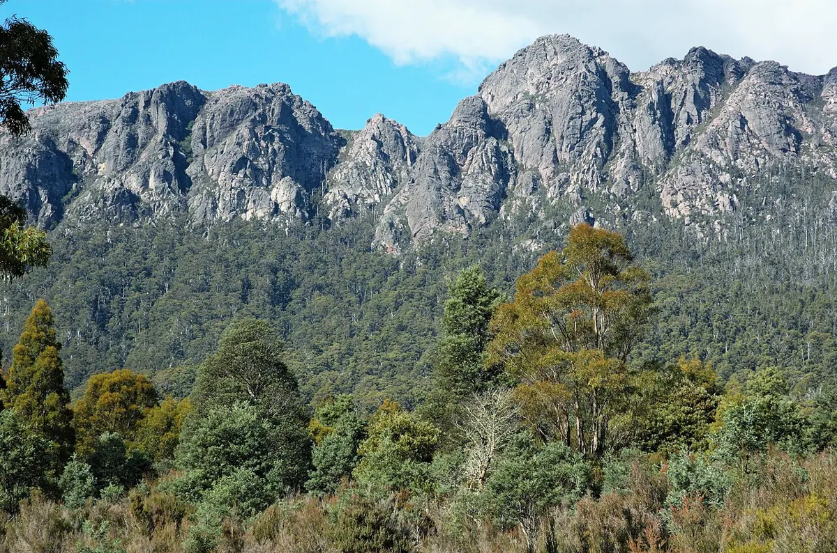
Mt George Signal Tower
Mt George Signal Tower is a lookout about 3 km from George Town, Tasmania. Location data © OpenStreetMap contributors, available under the ODbL.
AustraliaWeb: Your Guide to Accessible & Family Travel in Australia
Mt George Signal Tower is a lookout about 3 km from George Town, Tasmania. Location data © OpenStreetMap contributors, available under the ODbL.
Lookout Rock is a lookout near Bicheno, Tasmania. Location data © OpenStreetMap contributors, available under the ODbL.
Tim Shea lookout is a lookout about 14 km from Maydena, Tasmania. Location data © OpenStreetMap contributors, available under the ODbL.
Marriotts Falls is a waterfall about 5 km from Maydena, Tasmania. Location data © OpenStreetMap contributors, available under the ODbL.
Gentle Annie Falls Upper Viewpoint is a lookout about 2 km from Ridgeway, Tasmania. Location data © OpenStreetMap contributors, available under the ODbL.
Wilf Campbell Memorial Lookout is a lookout near Hillcrest, Tasmania. Wheelchair access is listed as limited. Location data © OpenStreetMap contributors, available under the ODbL.
Montana Falls is a waterfall about 7 km from Deloraine, Tasmania. Location data © OpenStreetMap contributors, available under the ODbL.
Alum Cliffs Lookout is a lookout about 3 km from Mole Creek, Tasmania. Location data © OpenStreetMap contributors, available under the ODbL.
Mount Roland is a mountain & peak about 10 km from Sheffield, Tasmania. It rises to about 1233 m above sea level. Location data © OpenStreetMap contributors, available under the ODbL.
Mount Vandyke is a mountain & peak about 13 km from Sheffield, Tasmania. It rises to about 1084 m above sea level. Location data © OpenStreetMap contributors, available under the ODbL.