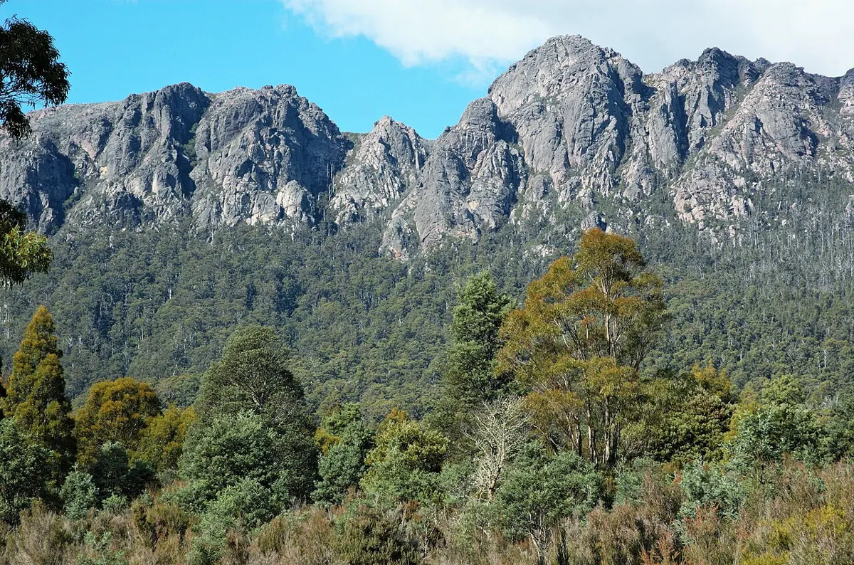
Montana Falls
Montana Falls is a waterfall about 7 km from Deloraine, Tasmania. Location data © OpenStreetMap contributors, available under the ODbL.
AustraliaWeb: Your Guide to Accessible & Family Travel in Australia
Montana Falls is a waterfall about 7 km from Deloraine, Tasmania. Location data © OpenStreetMap contributors, available under the ODbL.
Alum Cliffs Lookout is a lookout about 3 km from Mole Creek, Tasmania. Location data © OpenStreetMap contributors, available under the ODbL.
Mount Roland is a mountain & peak about 10 km from Sheffield, Tasmania. It rises to about 1233 m above sea level. Location data © OpenStreetMap contributors, available under the ODbL.
Mount Vandyke is a mountain & peak about 13 km from Sheffield, Tasmania. It rises to about 1084 m above sea level. Location data © OpenStreetMap contributors, available under the ODbL.
Wellington Falls Lookout is a lookout about 6 km from Fern Tree, Tasmania. View of the Wellington Falls. Location data © OpenStreetMap contributors, available under the ODbL.
Kent Beach is a beach about 2 km from Dover, Tasmania. Location data © OpenStreetMap contributors, available under the ODbL.
Don Heads Historic Site is an attraction about 3 km from Devonport, Tasmania. Location data © OpenStreetMap contributors, available under the ODbL.
Mount Tanner is a mountain & peak in Tasmania. Location data © OpenStreetMap contributors, available under the ODbL.
Freycinet Sea Cruises is an attraction near Coles Bay, Tasmania. Location data © OpenStreetMap contributors, available under the ODbL.
Walkers Lookout is a lookout about 9 km from Whitemark, Tasmania. It rises to about 411 m above sea level. Location data © OpenStreetMap contributors, available under the ODbL.