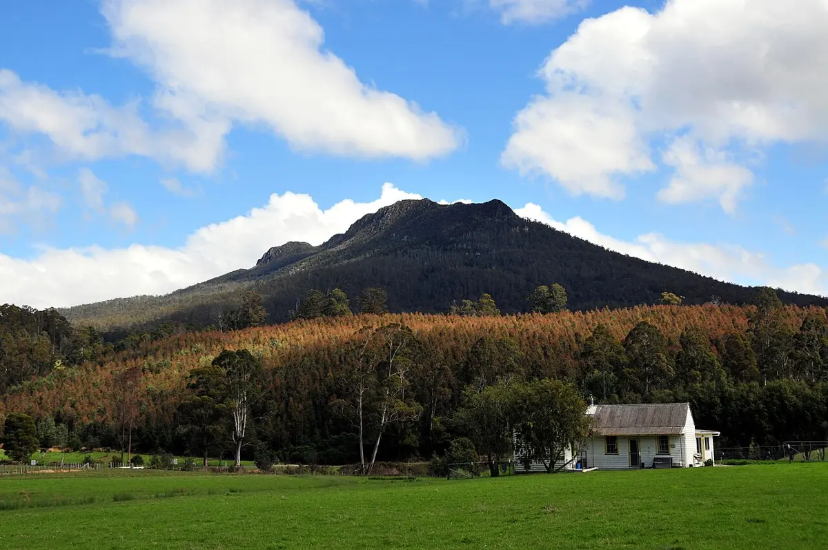
Western Tiers Lookout
Western Tiers Lookout is a lookout about 14 km from Mole Creek, Tasmania. Location data © OpenStreetMap contributors, available under the ODbL.
AustraliaWeb: Your Guide to Accessible & Family Travel in Australia
Western Tiers Lookout is a lookout about 14 km from Mole Creek, Tasmania. Location data © OpenStreetMap contributors, available under the ODbL.
Quamby Bluff is a mountain & peak about 7 km from Meander, Tasmania. It rises to about 1228 m above sea level. Location data © OpenStreetMap contributors, available under the ODbL.
House of Hargrave is an attraction about 4 km from Acacia Hills, Tasmania. Deluxe cool climate wines produced in Lutruwita/Tasmania’s North West. Also serves food platters and occasional entertainment some evenings. Listed opening hours: Fr 14:00-20:00; Sa 10:00-19:00; Su 10:00-18:00. Entry is listed as free. It is managed by House of Hargrave. Location data © … Read more
Cape Lookout is a lookout about 16 km from Nubeena, Tasmania. It is managed by Tasmania Parks & Wildlife Service. Location data © OpenStreetMap contributors, available under the ODbL.
St Josephs Falls is a waterfall about 10 km from Ridgley, Tasmania. Location data © OpenStreetMap contributors, available under the ODbL.
Devils Kitchen is an attraction about 18 km from Nubeena, Tasmania. Location data © OpenStreetMap contributors, available under the ODbL.
Whalers Falls is a waterfall in Tasmania. Location data © OpenStreetMap contributors, available under the ODbL.
Trowunna Wildlife Park is an attraction about 4 km from Mole Creek, Tasmania. Location data © OpenStreetMap contributors, available under the ODbL.
Monkey Puzzle Tree is an attraction in Tasmania. Location data © OpenStreetMap contributors, available under the ODbL.
Mount Louis is a mountain & peak about 6 km from Margate, Tasmania. Location data © OpenStreetMap contributors, available under the ODbL.