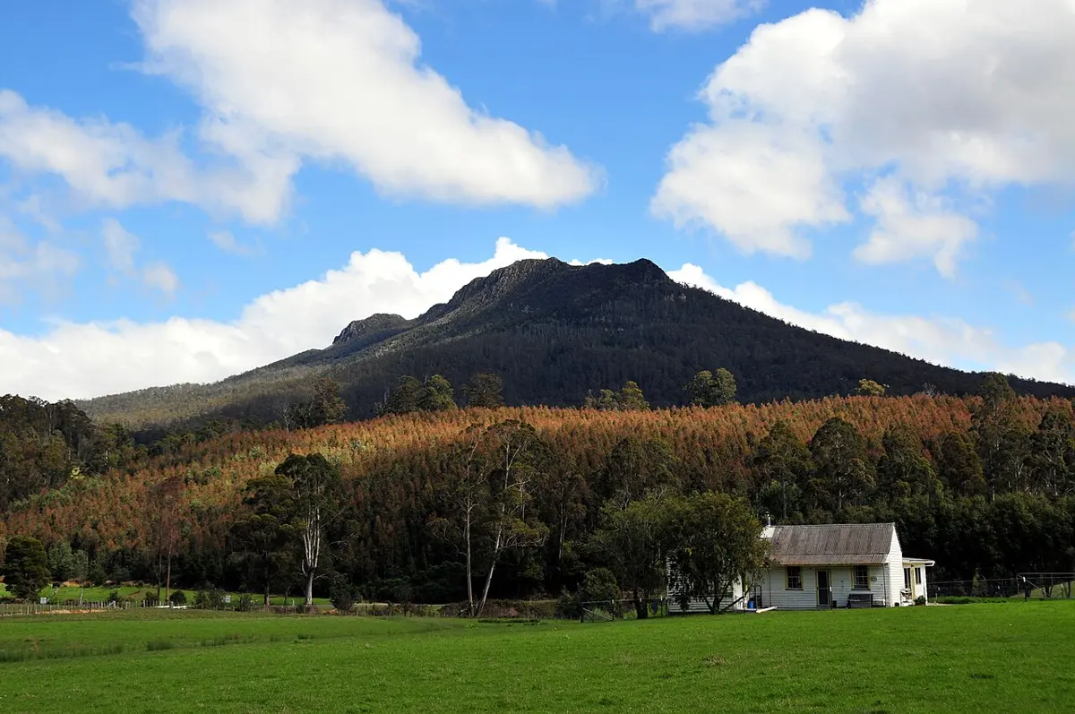
‘Sotherton’
'Sotherton' is a museum & gallery near Launceston, Tasmania. Location data © OpenStreetMap contributors, available under the ODbL.
AustraliaWeb: Your Guide to Accessible & Family Travel in Australia
'Sotherton' is a museum & gallery near Launceston, Tasmania. Location data © OpenStreetMap contributors, available under the ODbL.
Donaghys Lookout is a lookout in Tasmania. Location data © OpenStreetMap contributors, available under the ODbL.
Mount Riana is a mountain & peak about 11 km from Penguin, Tasmania. It rises to about 610 m above sea level. Location data © OpenStreetMap contributors, available under the ODbL.
Brady's Lookout is a lookout about 2 km from Grindelwald, Tasmania. Location data © OpenStreetMap contributors, available under the ODbL.
City of Burnie Regional Art Gallery is a museum & gallery near Burnie, Tasmania. Wheelchair access is listed as yes. Location data © OpenStreetMap contributors, available under the ODbL.
Pelverata Falls Lookout is a lookout about 8 km from Huonville, Tasmania. Location data © OpenStreetMap contributors, available under the ODbL.
Mount Victoria is a mountain & peak about 20 km from Branxholm, Tasmania. It rises to about 1213 m above sea level. Location data © OpenStreetMap contributors, available under the ODbL.
Western Tiers Lookout is a lookout about 14 km from Mole Creek, Tasmania. Location data © OpenStreetMap contributors, available under the ODbL.
Quamby Bluff is a mountain & peak about 7 km from Meander, Tasmania. It rises to about 1228 m above sea level. Location data © OpenStreetMap contributors, available under the ODbL.
Ironstone Mountain is a mountain & peak about 13 km from Meander, Tasmania. It rises to about 1445 m above sea level. Location data © OpenStreetMap contributors, available under the ODbL.