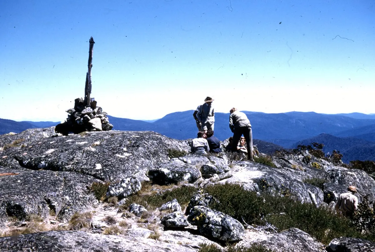
Murrays Hill
Murrays Hill is a mountain & peak about 10 km from Weston Creek, the Australian Capital Territory. It rises to about 856 m above sea level. Location data © OpenStreetMap contributors, available under the ODbL.
AustraliaWeb: Your Guide to Accessible & Family Travel in Australia
Murrays Hill is a mountain & peak about 10 km from Weston Creek, the Australian Capital Territory. It rises to about 856 m above sea level. Location data © OpenStreetMap contributors, available under the ODbL.
Pierce HIll (MC Pierce) is a lookout about 15 km from Weston Creek, the Australian Capital Territory. It rises to about 1363 m above sea level. Location data © OpenStreetMap contributors, available under the ODbL.
Dam Viewing Area is a lookout about 3 km from Uriarra Village, the Australian Capital Territory. Location data © OpenStreetMap contributors, available under the ODbL.
Camels Hump is a lookout about 16 km from Weston Creek, the Australian Capital Territory. Location data © OpenStreetMap contributors, available under the ODbL.
Bimberi Peak is a mountain & peak in the Australian Capital Territory. Highest peak in the Australian Capital Territory. It rises to about 1913 m above sea level. Location data © OpenStreetMap contributors, available under the ODbL.
Oakey Hil is a mountain & peak near Lyons, the Australian Capital Territory. It rises to about 684 m above sea level. Location data © OpenStreetMap contributors, available under the ODbL.
Black Hill is a mountain & peak about 10 km from Weston Creek, the Australian Capital Territory. Location data © OpenStreetMap contributors, available under the ODbL.
Lookout is a lookout about 17 km from Tuggeranong, the Australian Capital Territory. Location data © OpenStreetMap contributors, available under the ODbL.
Booths Hill is a mountain & peak in the Australian Capital Territory. It rises to about 1585 m above sea level. Location data © OpenStreetMap contributors, available under the ODbL.
Government House Lookout is a lookout about 3 km from Canberra, the Australian Capital Territory. Location data © OpenStreetMap contributors, available under the ODbL.