Tidbinbilla Peak
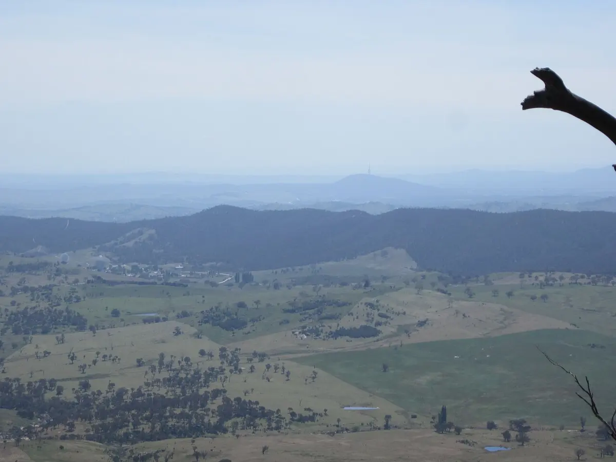
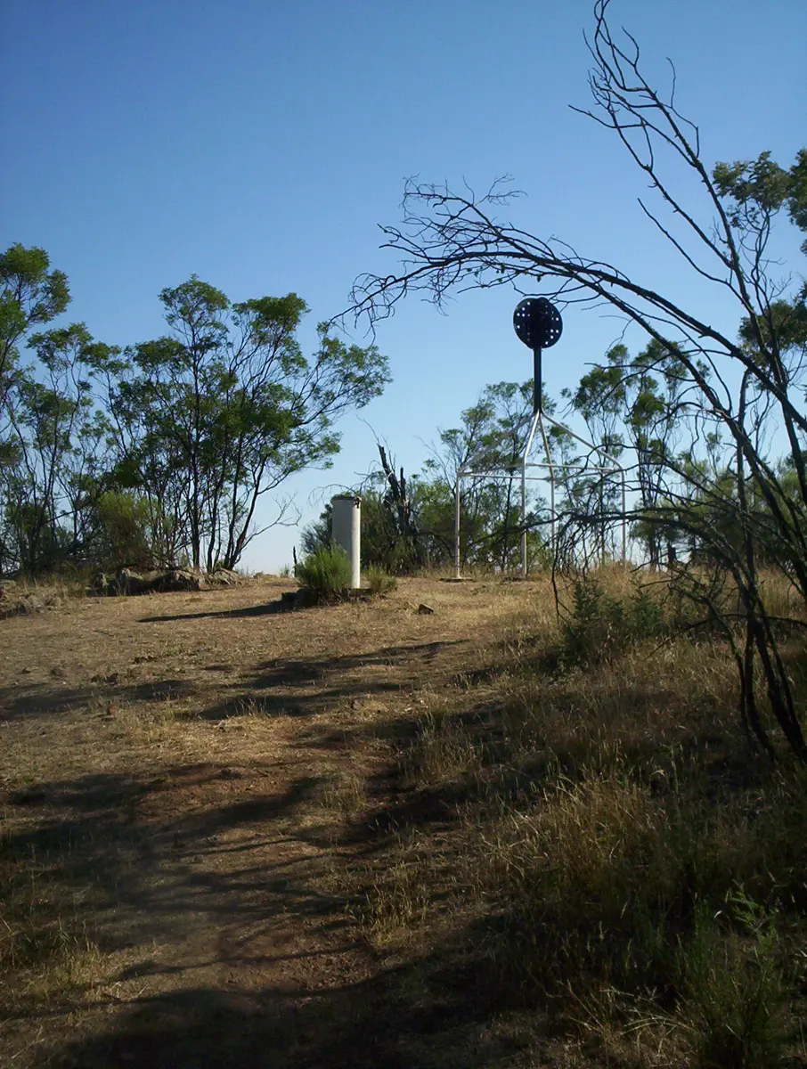
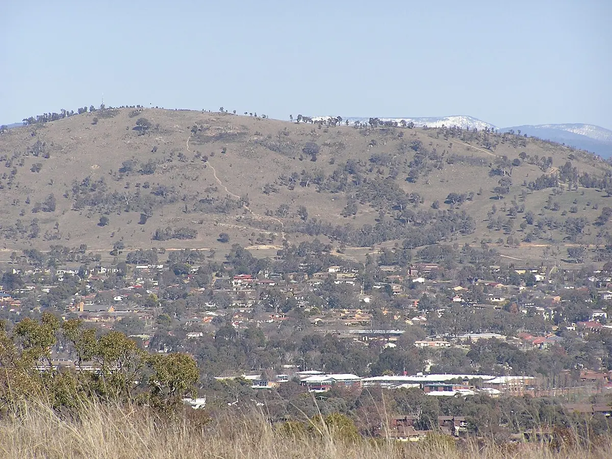
Tidbinbilla Peak is a mountain & peak about 18 km from Weston Creek, the Australian Capital Territory. It rises to about 1562 m above sea level. Location data © OpenStreetMap contributors, available under the ODbL.
AustraliaWeb: Your Guide to Accessible & Family Travel in Australia
Tidbinbilla Peak is a mountain & peak about 18 km from Weston Creek, the Australian Capital Territory. It rises to about 1562 m above sea level. Location data © OpenStreetMap contributors, available under the ODbL.
Xanthorrea forrest is an attraction about 15 km from Tuggeranong, the Australian Capital Territory. Location data © OpenStreetMap contributors, available under the ODbL.
Gibraltar Peak is a mountain & peak about 14 km from Tuggeranong, the Australian Capital Territory. It rises to about 1038 m above sea level. Location data © OpenStreetMap contributors, available under the ODbL.
Lanyon Homestead is an attraction about 2 km from Tharwa, the Australian Capital Territory. Location data © OpenStreetMap contributors, available under the ODbL.
Dairy Farmers Hill is a lookout about 3 km from Molonglo Valley, the Australian Capital Territory. It rises to about 677 m above sea level. Location data © OpenStreetMap contributors, available under the ODbL.
Mount Boboyan is a mountain & peak in the Australian Capital Territory. It rises to about 1465 m above sea level. Location data © OpenStreetMap contributors, available under the ODbL.
Mount Majura is a mountain & peak about 2 km from Watson, the Australian Capital Territory. It rises to about 888 m above sea level. Location data © OpenStreetMap contributors, available under the ODbL.
Mount Arawang is a mountain & peak about 1 km from Fisher, the Australian Capital Territory. It rises to about 765 m above sea level. Location data © OpenStreetMap contributors, available under the ODbL.
Mount Taylor is a mountain & peak about 1 km from Torrens, the Australian Capital Territory. It rises to about 855 m above sea level. Location data © OpenStreetMap contributors, available under the ODbL.