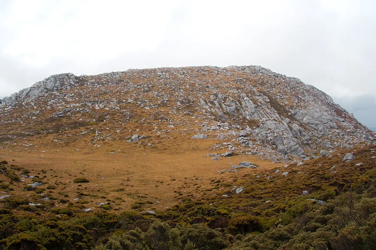
The Cupola
The Cupola is a mountain & peak about 19 km from Strathgordon, Tasmania. It rises to about 970 m above sea level. Location data © OpenStreetMap contributors, available under the ODbL.
AustraliaWeb: Your Guide to Accessible & Family Travel in Australia
The Cupola is a mountain & peak about 19 km from Strathgordon, Tasmania. It rises to about 970 m above sea level. Location data © OpenStreetMap contributors, available under the ODbL.
Princes Peak is a lookout about 24 km from Strathgordon, Tasmania. It rises to about 1028 m above sea level. Location data © OpenStreetMap contributors, available under the ODbL.
Olegas Bluff is a mountain & peak about 15 km from Strathgordon, Tasmania. It rises to about 659 m above sea level. Location data © OpenStreetMap contributors, available under the ODbL.
Mount Wedge is a mountain & peak about 22 km from Strathgordon, Tasmania. It rises to about 1147 m above sea level. Location data © OpenStreetMap contributors, available under the ODbL.
Hermit Hill is a mountain & peak about 9 km from Strathgordon, Tasmania. It rises to about 504 m above sea level. Location data © OpenStreetMap contributors, available under the ODbL.
Mount Cullen is a mountain & peak about 13 km from Strathgordon, Tasmania. It rises to about 721 m above sea level. Location data © OpenStreetMap contributors, available under the ODbL.
Mount Helder is a mountain & peak about 16 km from Strathgordon, Tasmania. It rises to about 737 m above sea level. Location data © OpenStreetMap contributors, available under the ODbL.
Mount Robert is a mountain & peak about 10 km from Strathgordon, Tasmania. It rises to about 897 m above sea level. Location data © OpenStreetMap contributors, available under the ODbL.
Mount Sprent is a mountain & peak about 7 km from Strathgordon, Tasmania. It rises to about 1058 m above sea level. Location data © OpenStreetMap contributors, available under the ODbL.
Clear Hill is a mountain & peak about 21 km from Strathgordon, Tasmania. It rises to about 1198 m above sea level. Location data © OpenStreetMap contributors, available under the ODbL.