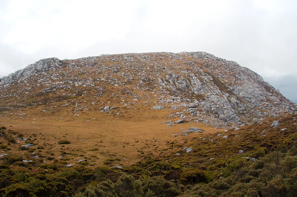
Menkar
Menkar is a mountain & peak about 23 km from Strathgordon, Tasmania. It rises to about 530 m above sea level. Location data © OpenStreetMap contributors, available under the ODbL.
AustraliaWeb: Your Guide to Accessible & Family Travel in Australia
Menkar is a mountain & peak about 23 km from Strathgordon, Tasmania. It rises to about 530 m above sea level. Location data © OpenStreetMap contributors, available under the ODbL.
Hardwood Hill is a mountain & peak about 25 km from Strathgordon, Tasmania. It rises to about 412 m above sea level. Location data © OpenStreetMap contributors, available under the ODbL.
Crumbledown is a mountain & peak about 19 km from Strathgordon, Tasmania. Location data © OpenStreetMap contributors, available under the ODbL.
Cleft Peak is a mountain & peak about 22 km from Strathgordon, Tasmania. It rises to about 946 m above sea level. Location data © OpenStreetMap contributors, available under the ODbL.
Greycap is a mountain & peak about 23 km from Strathgordon, Tasmania. It rises to about 898 m above sea level. Location data © OpenStreetMap contributors, available under the ODbL.
Mount Cawthorn is a mountain & peak about 17 km from Strathgordon, Tasmania. It rises to about 731 m above sea level. Location data © OpenStreetMap contributors, available under the ODbL.
Murphys Bluff is a mountain & peak about 21 km from Strathgordon, Tasmania. It rises to about 980 m above sea level. Location data © OpenStreetMap contributors, available under the ODbL.
Redtop Peak is a mountain & peak about 19 km from Strathgordon, Tasmania. It rises to about 935 m above sea level. Location data © OpenStreetMap contributors, available under the ODbL.
The Citadel is a mountain & peak about 21 km from Strathgordon, Tasmania. It rises to about 926 m above sea level. Location data © OpenStreetMap contributors, available under the ODbL.
The Cupola is a mountain & peak about 19 km from Strathgordon, Tasmania. It rises to about 970 m above sea level. Location data © OpenStreetMap contributors, available under the ODbL.