Bastion Cascades
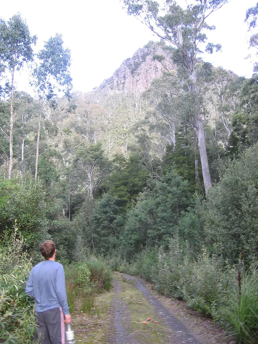
Bastion Cascades is a waterfall about 10 km from Meander, Tasmania. Location data © OpenStreetMap contributors, available under the ODbL.
AustraliaWeb: Your Guide to Accessible & Family Travel in Australia
Bastion Cascades is a waterfall about 10 km from Meander, Tasmania. Location data © OpenStreetMap contributors, available under the ODbL.
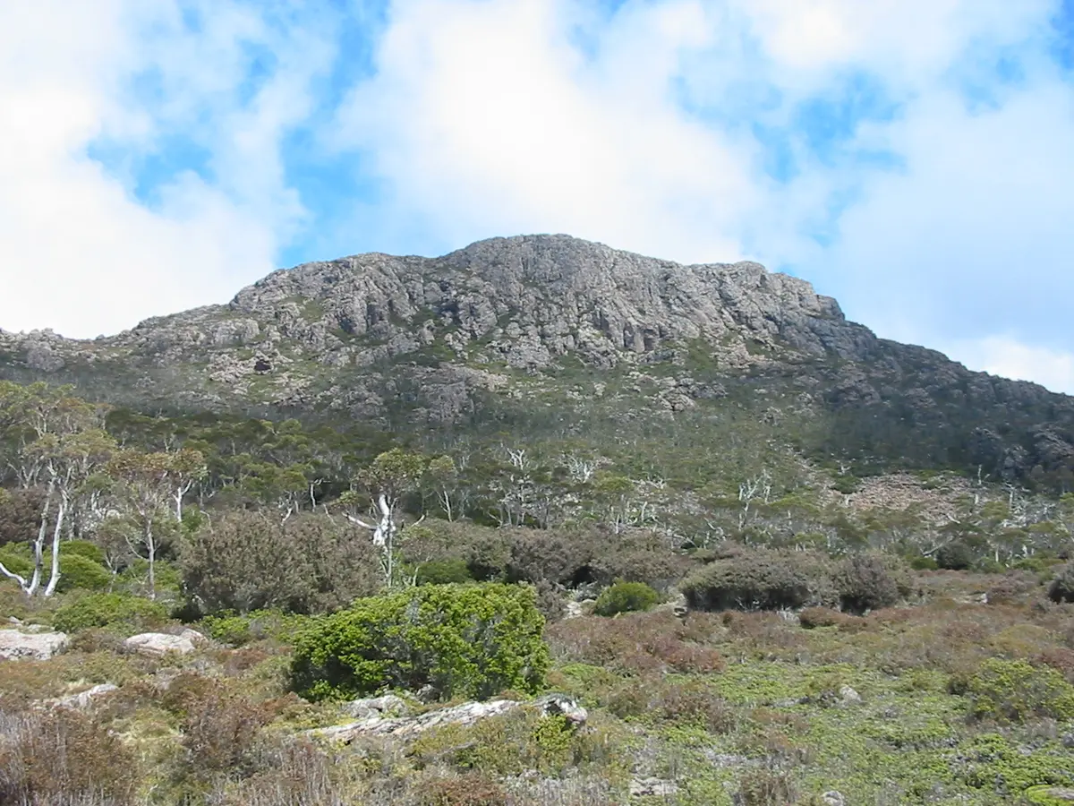
Mother Cummings Peak is a mountain & peak about 7 km from Meander, Tasmania. It rises to about 1190 m above sea level. Location data © OpenStreetMap contributors, available under the ODbL.
Dells Bluff is a mountain & peak about 17 km from Meander, Tasmania. It rises to about 1210 m above sea level. Location data © OpenStreetMap contributors, available under the ODbL.
Ritters Crag is a mountain & peak about 9 km from Meander, Tasmania. It rises to about 1160 m above sea level. Location data © OpenStreetMap contributors, available under the ODbL.
Wild Dog Tier is a mountain & peak about 15 km from Meander, Tasmania. It rises to about 1394 m above sea level. Location data © OpenStreetMap contributors, available under the ODbL.
Bastion Bluff is a mountain & peak about 11 km from Meander, Tasmania. It rises to about 1386 m above sea level. Location data © OpenStreetMap contributors, available under the ODbL.
Meander Crag is a mountain & peak about 12 km from Meander, Tasmania. It rises to about 1265 m above sea level. Location data © OpenStreetMap contributors, available under the ODbL.
Dome Hill is a mountain & peak about 16 km from Meander, Tasmania. It rises to about 1284 m above sea level. Location data © OpenStreetMap contributors, available under the ODbL.
Meander Dam is a lookout about 4 km from Meander, Tasmania. Location data © OpenStreetMap contributors, available under the ODbL.
Ironstone Mountain is a mountain & peak about 13 km from Meander, Tasmania. It rises to about 1445 m above sea level. Location data © OpenStreetMap contributors, available under the ODbL.