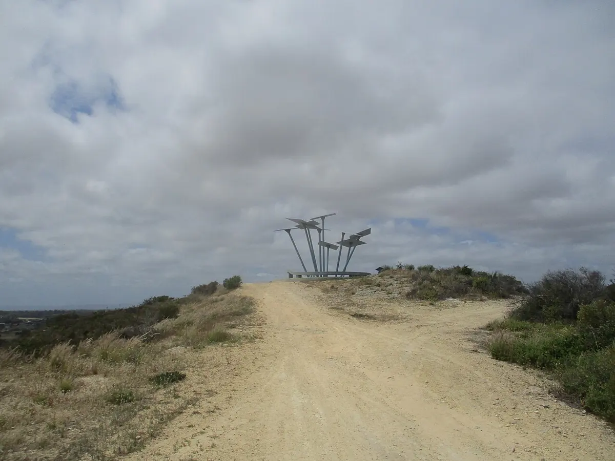
Mount Brown
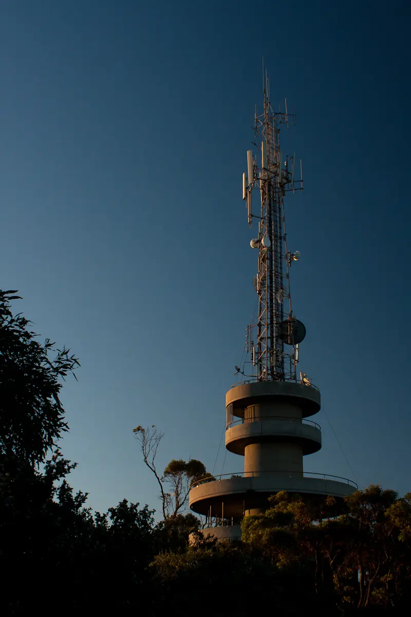
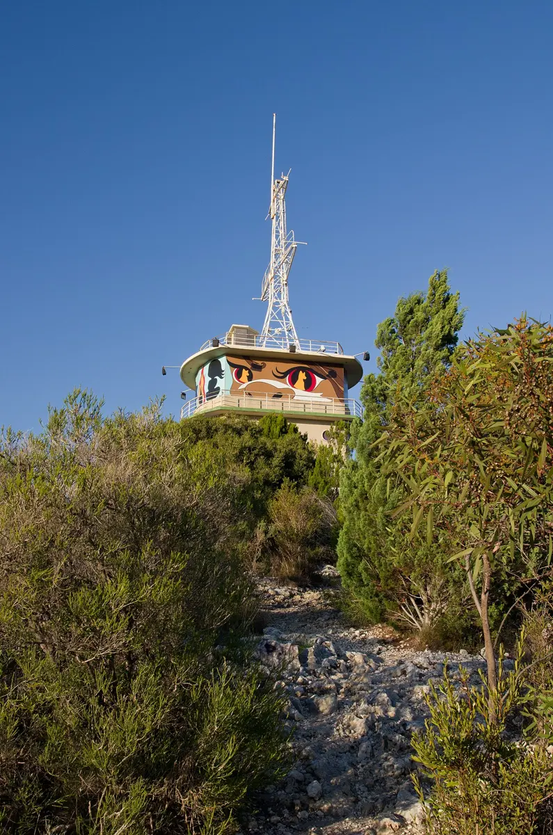
Mount Brown is a mountain & peak about 2 km from Naval Base, Western Australia. Location data © OpenStreetMap contributors, available under the ODbL.
AustraliaWeb: Your Guide to Accessible & Family Travel in Australia
Mount Brown is a mountain & peak about 2 km from Naval Base, Western Australia. Location data © OpenStreetMap contributors, available under the ODbL.
Mount Clarence is a mountain & peak near Albany, Western Australia. Location data © OpenStreetMap contributors, available under the ODbL.
Mount Melville is a mountain & peak near Mount Melville, Western Australia. Location data © OpenStreetMap contributors, available under the ODbL.
Mount Randall is a mountain & peak about 23 km from Mundijong, Western Australia. It rises to about 525 m above sea level. Location data © OpenStreetMap contributors, available under the ODbL.
Cantonment Hill is a mountain & peak about 1 km from Fremantle, Western Australia. Location data © OpenStreetMap contributors, available under the ODbL.
Mount Beadell is a mountain & peak in Western Australia. It rises to about 526 m above sea level. Location data © OpenStreetMap contributors, available under the ODbL.
Nancy Peak is a mountain & peak about 19 km from Mount Barker, Western Australia. It rises to about 652 m above sea level. Location data © OpenStreetMap contributors, available under the ODbL.
Mount Flora is a mountain & peak near Watermans Bay, Western Australia. Location data © OpenStreetMap contributors, available under the ODbL.
Elephant Rock is a mountain & peak in Western Australia. Location data © OpenStreetMap contributors, available under the ODbL.
Clontarf Hill is a mountain & peak near Beaconsfield, Western Australia. It rises to about 33 m above sea level. Location data © OpenStreetMap contributors, available under the ODbL.