Malabar Hill
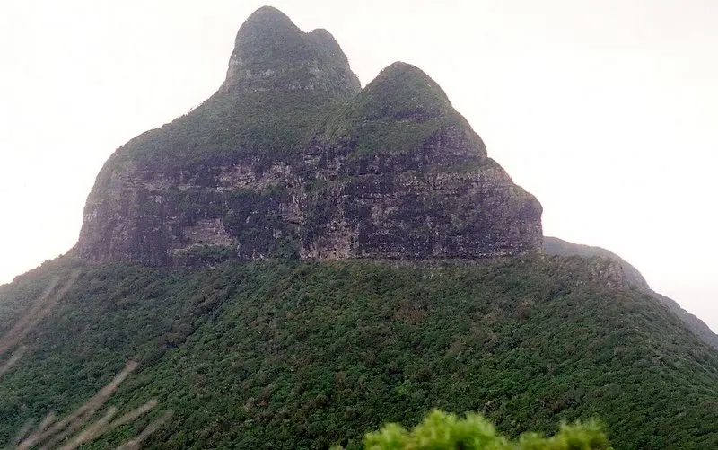
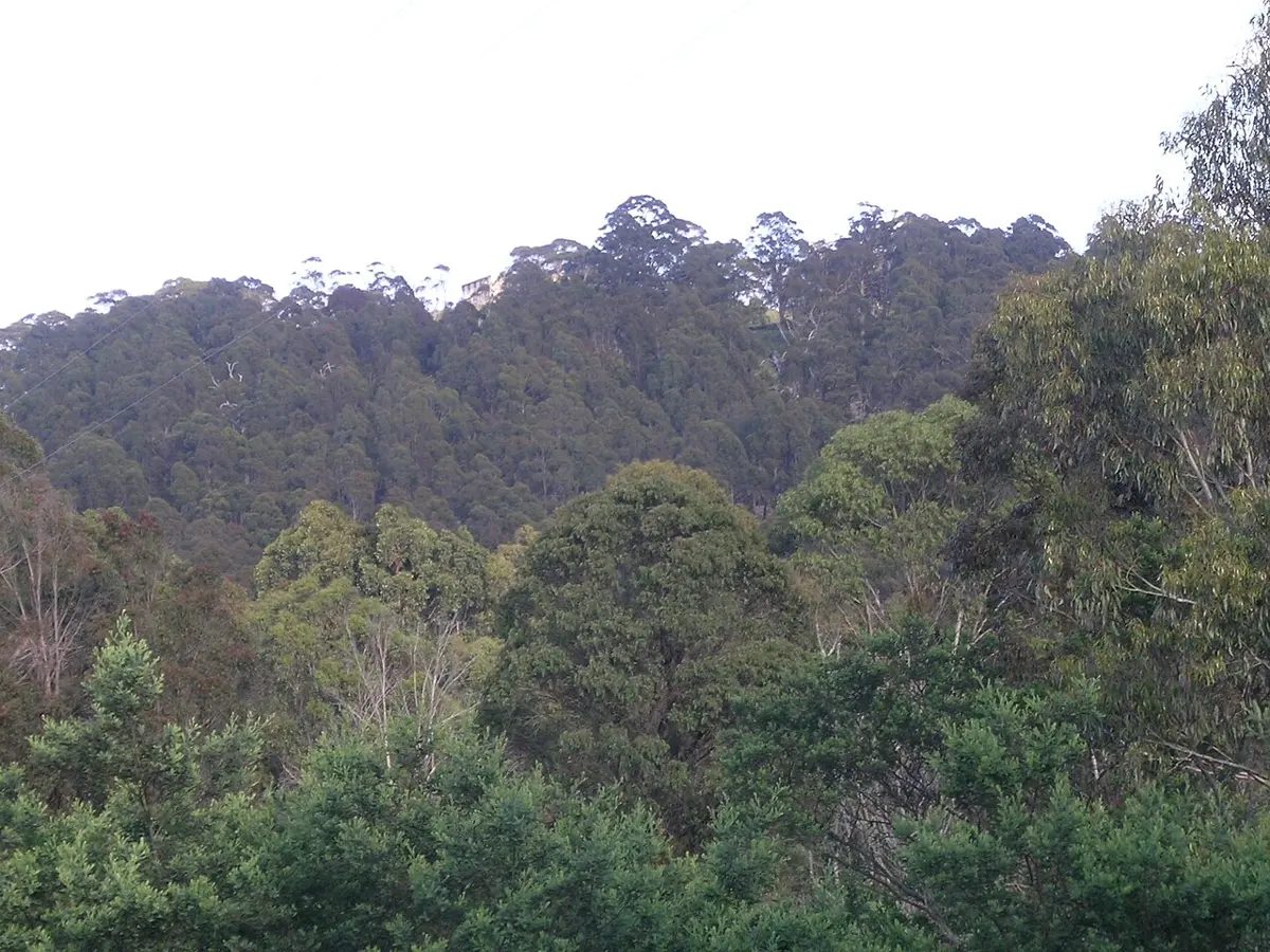
Malabar Hill is a mountain & peak about 1 km from Lord Howe Island, New South Wales. It rises to about 208 m above sea level. Location data © OpenStreetMap contributors, available under the ODbL.
AustraliaWeb: Your Guide to Accessible & Family Travel in Australia
Malabar Hill is a mountain & peak about 1 km from Lord Howe Island, New South Wales. It rises to about 208 m above sea level. Location data © OpenStreetMap contributors, available under the ODbL.
Mount Lidgbird is a mountain & peak about 5 km from Lord Howe Island, New South Wales. It rises to about 777 m above sea level. Location data © OpenStreetMap contributors, available under the ODbL.
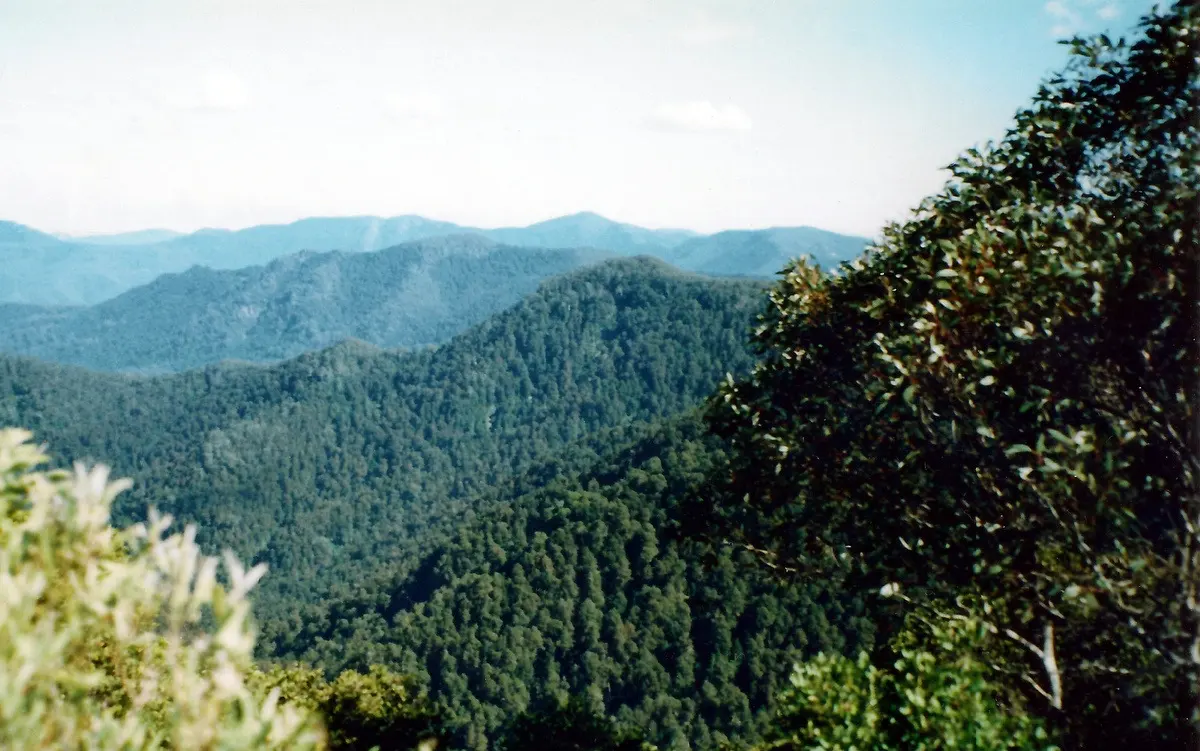
Careys Peak is a mountain & peak about 21 km from Salisbury, New South Wales. It rises to about 1545 m above sea level. Location data © OpenStreetMap contributors, available under the ODbL.
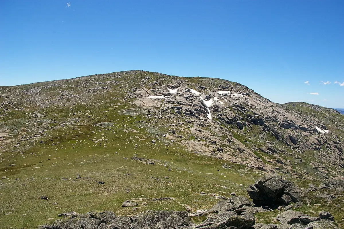
Mount Twynam is a mountain & peak about 9 km from Perisher Valley, New South Wales. It rises to about 2196 m above sea level. Location data © OpenStreetMap contributors, available under the ODbL.
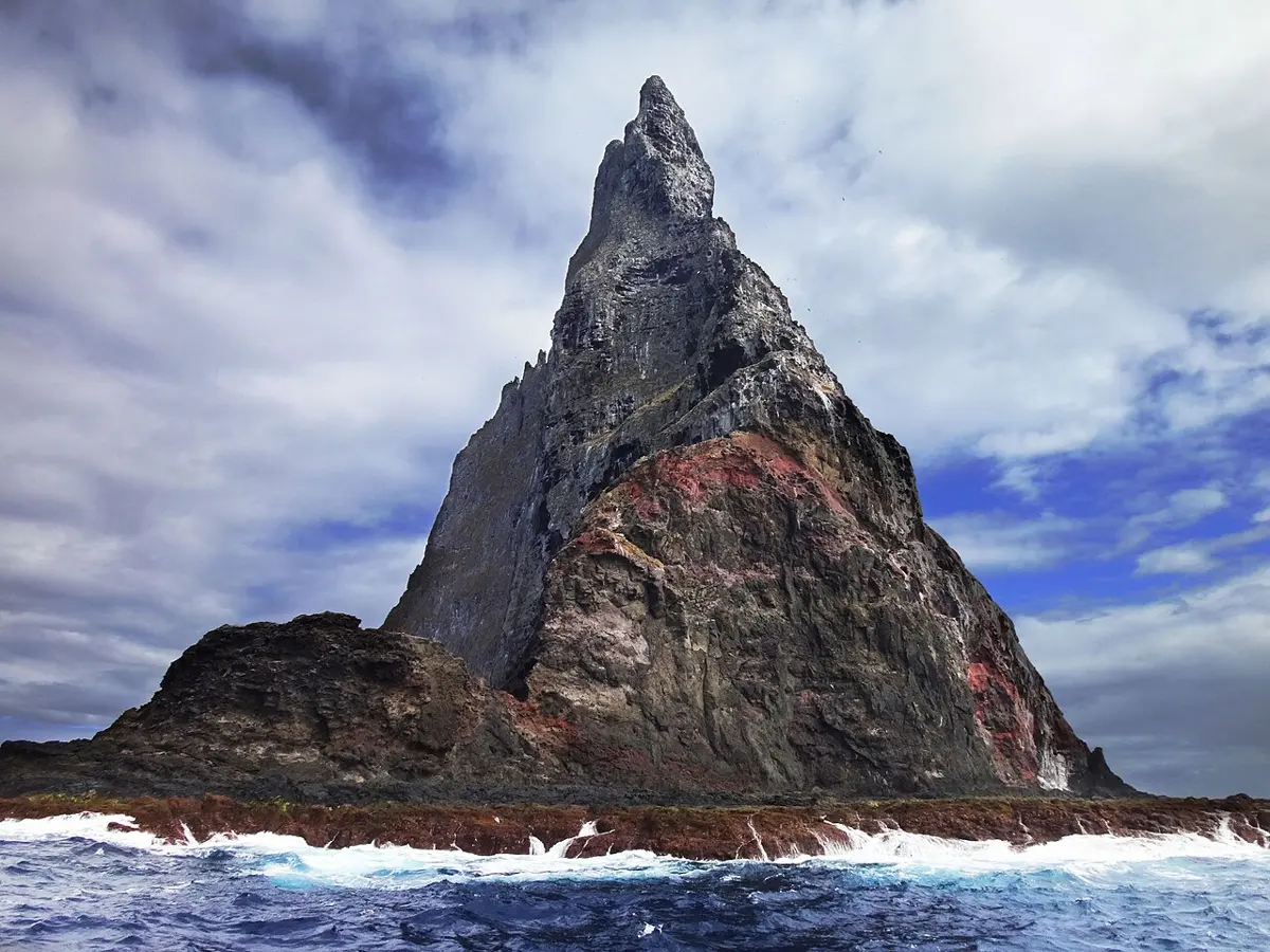
Ball's Pyramid is a mountain & peak in New South Wales. It rises to about 572 m above sea level. Location data © OpenStreetMap contributors, available under the ODbL.
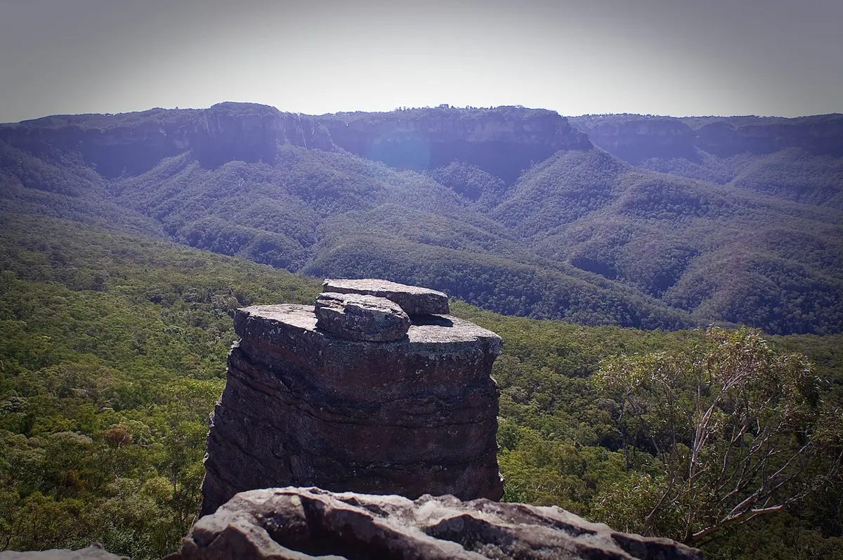
The Ruined Castle is a mountain & peak about 6 km from Katoomba, New South Wales. It rises to about 822 m above sea level. Location data © OpenStreetMap contributors, available under the ODbL.
Round Mountain is a mountain & peak about 11 km from Ebor, New South Wales. It rises to about 1586 m above sea level. Location data © OpenStreetMap contributors, available under the ODbL.
Moeyan Hill is a mountain & peak about 3 km from Berry, New South Wales. It rises to about 163 m above sea level. Location data © OpenStreetMap contributors, available under the ODbL.
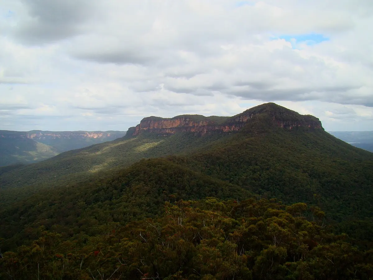
Mount Solitary is a mountain & peak about 7 km from Katoomba, New South Wales. It rises to about 950 m above sea level. Location data © OpenStreetMap contributors, available under the ODbL.