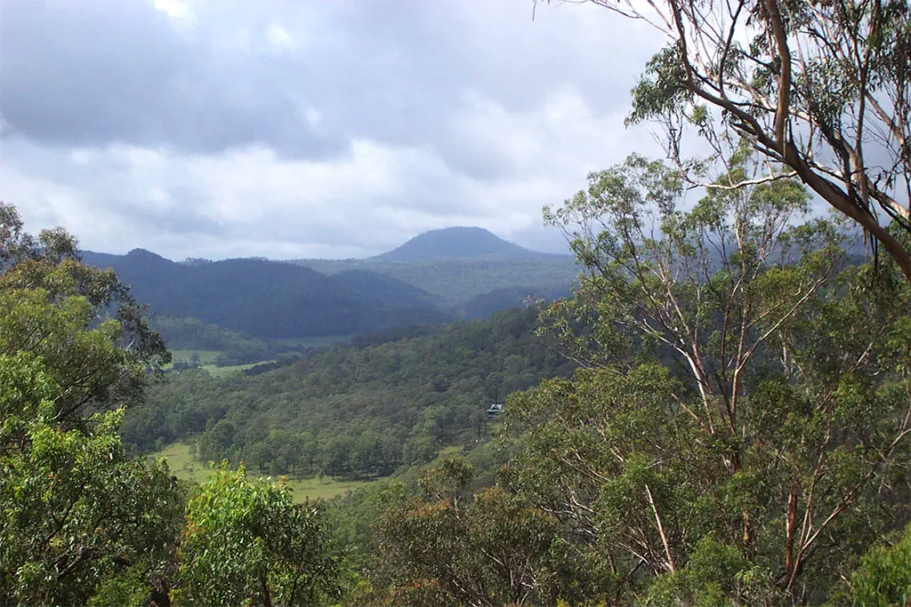
Mount Warrawolong
Mount Warrawolong is a mountain & peak about 22 km from Morisset, New South Wales. It rises to about 639 m above sea level. Location data © OpenStreetMap contributors, available under the ODbL.
AustraliaWeb: Your Guide to Accessible & Family Travel in Australia
Mount Warrawolong is a mountain & peak about 22 km from Morisset, New South Wales. It rises to about 639 m above sea level. Location data © OpenStreetMap contributors, available under the ODbL.
Mount Yengo is a mountain & peak in New South Wales. It rises to about 669 m above sea level. Location data © OpenStreetMap contributors, available under the ODbL.
Mulguthrie Mountain is a mountain & peak about 9 km from Ootha, New South Wales. It rises to about 313 m above sea level. Location data © OpenStreetMap contributors, available under the ODbL.
Peak Hill is a mountain & peak near Peak Hill, New South Wales. It rises to about 350 m above sea level. Location data © OpenStreetMap contributors, available under the ODbL.
Rocky Hill is a mountain & peak about 3 km from Hermidale, New South Wales. It rises to about 217 m above sea level. Location data © OpenStreetMap contributors, available under the ODbL.
Rocky Hill is a mountain & peak about 7 km from Trundle, New South Wales. Location data © OpenStreetMap contributors, available under the ODbL.
The Brothers is a mountain & peak in New South Wales. Location data © OpenStreetMap contributors, available under the ODbL.
The Twins is a mountain & peak about 25 km from Manildra, New South Wales. Location data © OpenStreetMap contributors, available under the ODbL.
Walkers Hill is a mountain & peak in New South Wales. Location data © OpenStreetMap contributors, available under the ODbL.
Wolabler Mountain is a mountain & peak about 20 km from Manildra, New South Wales. It rises to about 785 m above sea level. Location data © OpenStreetMap contributors, available under the ODbL.