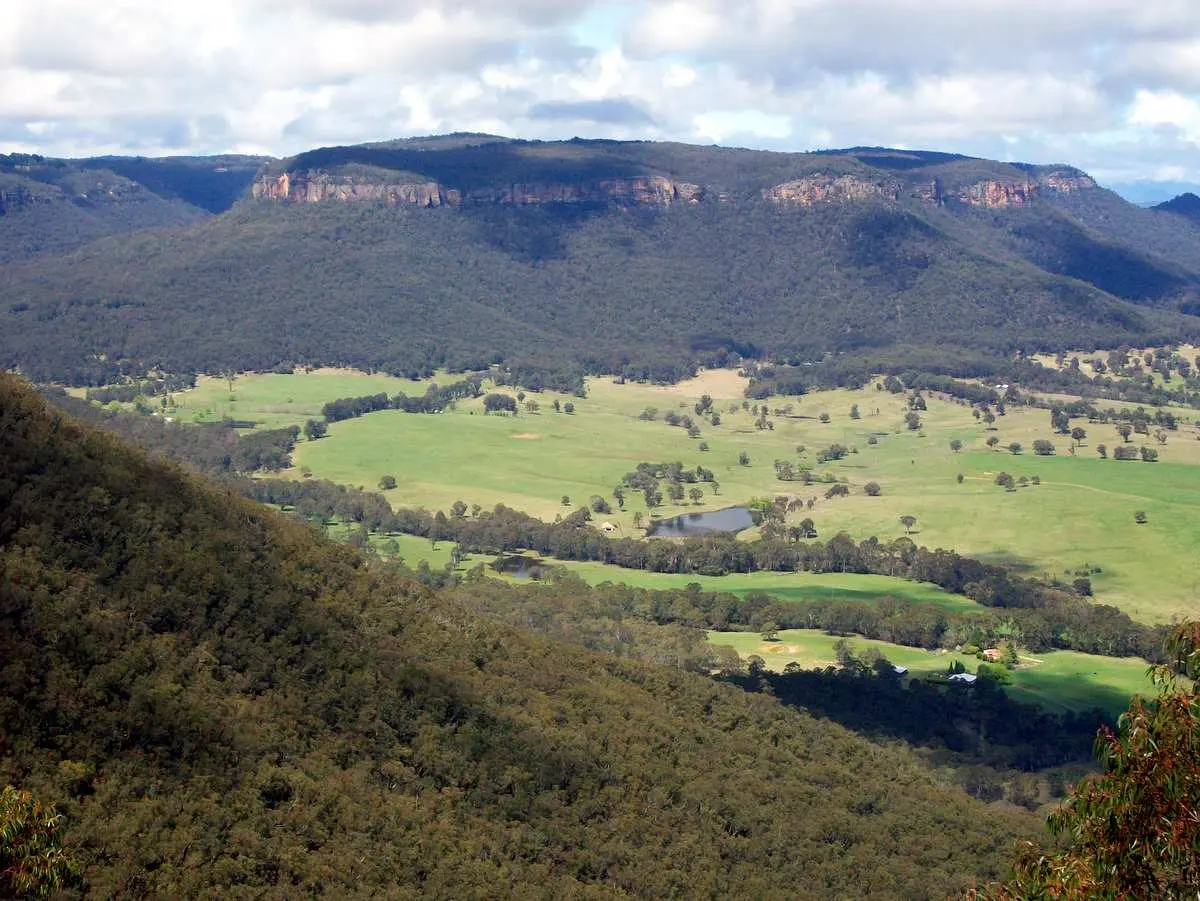
Mount Boyce
Mount Boyce is a mountain & peak about 3 km from Blackheath, New South Wales. It rises to about 1093 m above sea level. Location data © OpenStreetMap contributors, available under the ODbL.
AustraliaWeb: Your Guide to Accessible & Family Travel in Australia
Mount Boyce is a mountain & peak about 3 km from Blackheath, New South Wales. It rises to about 1093 m above sea level. Location data © OpenStreetMap contributors, available under the ODbL.
Wongarra Hill is a mountain & peak about 9 km from Blackheath, New South Wales. Location data © OpenStreetMap contributors, available under the ODbL.
Scorpion Hill is a mountain & peak about 8 km from Hazelbrook, New South Wales. It rises to about 558 m above sea level. Location data © OpenStreetMap contributors, available under the ODbL.
West Hill is a mountain & peak about 6 km from Hazelbrook, New South Wales. Location data © OpenStreetMap contributors, available under the ODbL.
Camp Cave Hill is a mountain & peak about 7 km from Wentworth Falls, New South Wales. Location data © OpenStreetMap contributors, available under the ODbL.
Mount Piddington is a mountain & peak near Mount Victoria, New South Wales. It rises to about 1094 m above sea level. Location data © OpenStreetMap contributors, available under the ODbL.
Mount Barranbali is a mountain & peak about 15 km from Faulconbridge, New South Wales. It rises to about 643 m above sea level. Location data © OpenStreetMap contributors, available under the ODbL.
Louisa Hill is a mountain & peak about 6 km from Bowen Mountain, New South Wales. Location data © OpenStreetMap contributors, available under the ODbL.
Rigby Hill is a mountain & peak about 8 km from Blackheath, New South Wales. It rises to about 923 m above sea level. Location data © OpenStreetMap contributors, available under the ODbL.
Mount Dixon is a mountain & peak about 15 km from Blackheath, New South Wales. Location data © OpenStreetMap contributors, available under the ODbL.