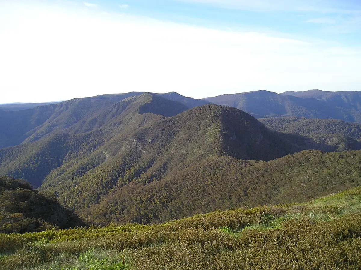
Mount Buggery
Mount Buggery is a mountain & peak in Victoria. It rises to about 1608 m above sea level. Location data © OpenStreetMap contributors, available under the ODbL.
AustraliaWeb: Your Guide to Accessible & Family Travel in Australia
Mount Buggery is a mountain & peak in Victoria. It rises to about 1608 m above sea level. Location data © OpenStreetMap contributors, available under the ODbL.
Mount Ararat is a mountain & peak about 3 km from Nar Nar Goon, Victoria. It rises to about 108 m above sea level. Location data © OpenStreetMap contributors, available under the ODbL.
Lysterfield Hills is a mountain & peak about 1 km from Lysterfield South, Victoria. It rises to about 218 m above sea level. Location data © OpenStreetMap contributors, available under the ODbL.
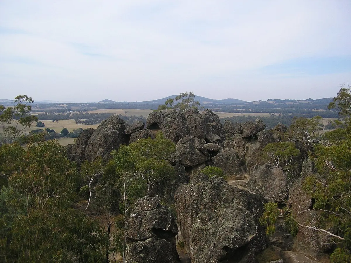
Hanging Rock is a mountain & peak about 6 km from Woodend, Victoria. Highest point of Hanging Rock rock formation, a tourist attraction. It rises to about 718 m above sea level. Location data © OpenStreetMap contributors, available under the ODbL.
Mount Sugarloaf is a mountain & peak about 9 km from Kinglake, Victoria. It rises to about 563 m above sea level. Location data © OpenStreetMap contributors, available under the ODbL.
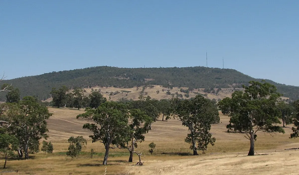
Mount Alexander is a mountain & peak about 4 km from Harcourt, Victoria. It rises to about 744 m above sea level. Location data © OpenStreetMap contributors, available under the ODbL.
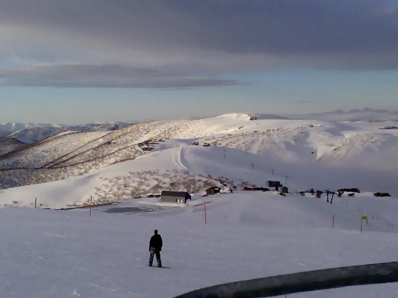
Mount Hotham is a mountain & peak about 2 km from Hotham Village, Victoria. It rises to about 1860.687 m above sea level. Location data © OpenStreetMap contributors, available under the ODbL.
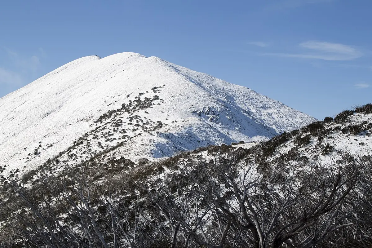
Mount Feathertop is a mountain & peak about 7 km from Harrietville, Victoria. It rises to about 1922 m above sea level. Location data © OpenStreetMap contributors, available under the ODbL.
Mount Loch is a mountain & peak about 3 km from Hotham Village, Victoria. It rises to about 1865 m above sea level. Location data © OpenStreetMap contributors, available under the ODbL.
Mount Beef is a mountain & peak about 1 km from Uralla, New South Wales. It rises to about 1065 m above sea level. It is listed as a heritage site. Location data © OpenStreetMap contributors, available under the ODbL.