Forbes Hill
Forbes Hill is a mountain & peak about 1 km from Rottnest Island, Western Australia. Location data © OpenStreetMap contributors, available under the ODbL.
AustraliaWeb: Your Guide to Accessible & Family Travel in Australia
Forbes Hill is a mountain & peak about 1 km from Rottnest Island, Western Australia. Location data © OpenStreetMap contributors, available under the ODbL.
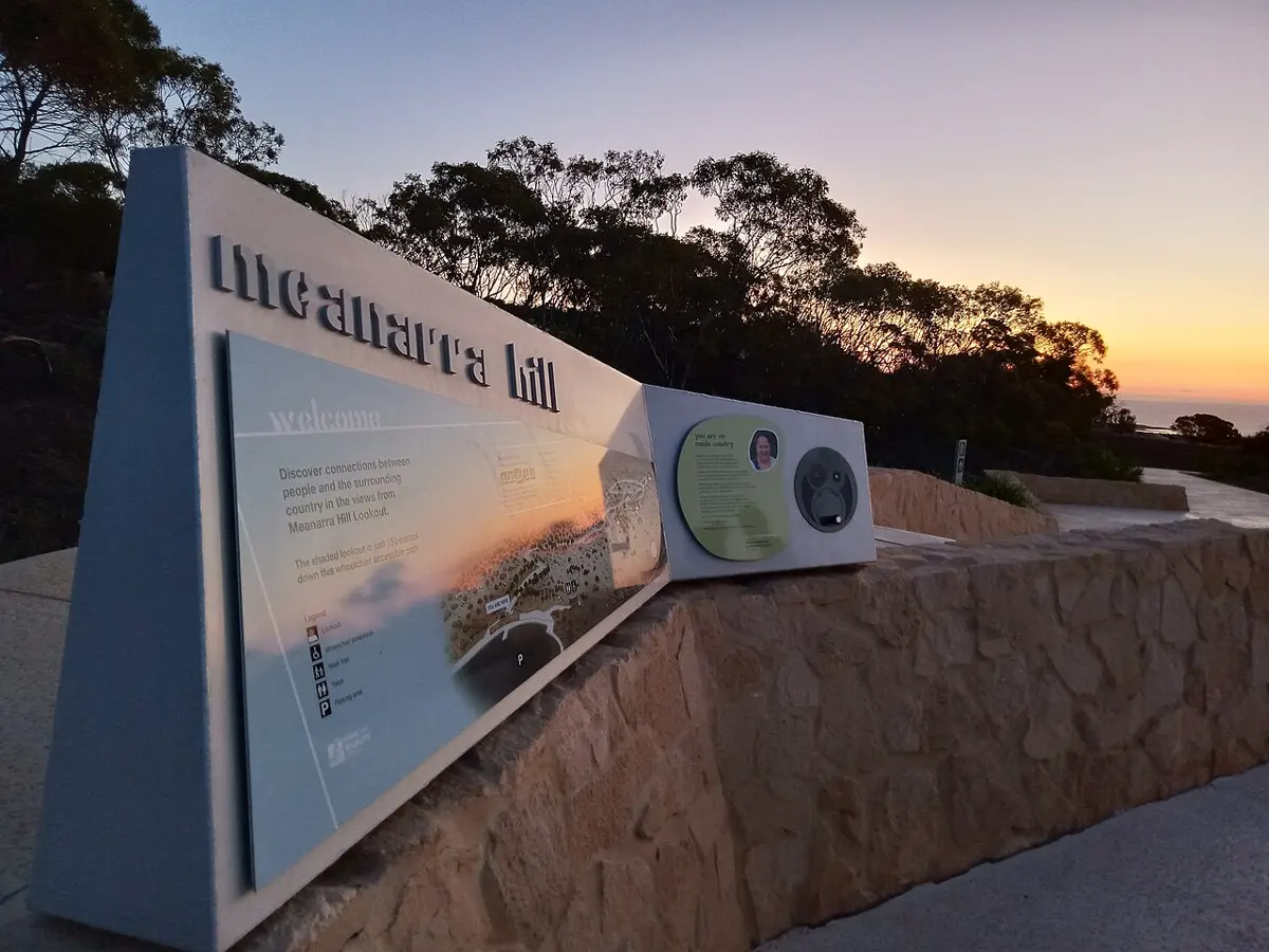
Meanarra Hill is a mountain & peak about 5 km from Kalbarri, Western Australia. It rises to about 204 m above sea level. Location data © OpenStreetMap contributors, available under the ODbL.
Barndon Hill is a mountain & peak near Lathlain, Western Australia. Location data © OpenStreetMap contributors, available under the ODbL.
Jilakin Rock is a mountain & peak about 16 km from Kulin, Western Australia. Location data © OpenStreetMap contributors, available under the ODbL.
Puntapin Rock is a mountain & peak about 5 km from Wagin, Western Australia. Location data © OpenStreetMap contributors, available under the ODbL.
Holt Rock is a mountain & peak in Western Australia. Location data © OpenStreetMap contributors, available under the ODbL.
Frog Rock is a mountain & peak about 24 km from Marvel Loch, Western Australia. Location data © OpenStreetMap contributors, available under the ODbL.
King Rocks is a mountain & peak in Western Australia. It rises to about 388 m above sea level. Location data © OpenStreetMap contributors, available under the ODbL.
Anderson Rocks is a mountain & peak in Western Australia. Location data © OpenStreetMap contributors, available under the ODbL.
Mount Eliza is a mountain & peak about 2 km from Perth, Western Australia. It rises to about 103 m above sea level. Location data © OpenStreetMap contributors, available under the ODbL.