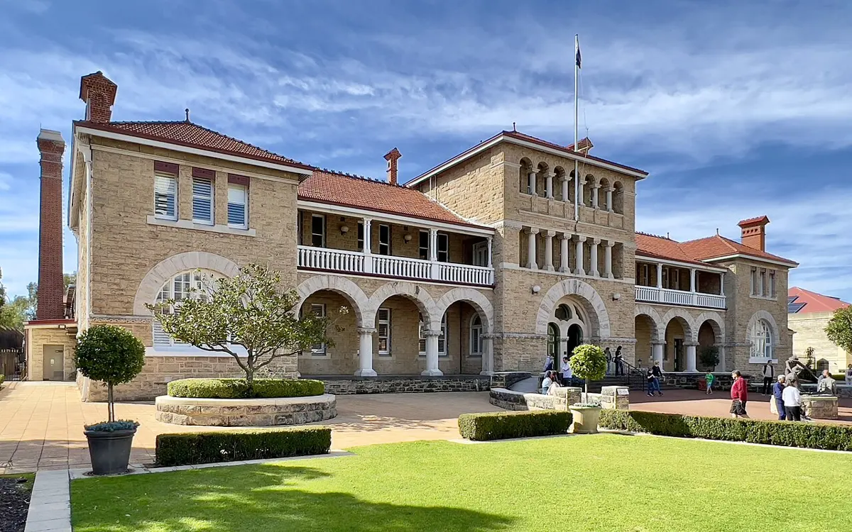
Perth Mint
Perth Mint is a historic site near Perth, Western Australia. Listed opening hours: Mo-Su 09:00-17:00; PH off. Official website Location data © OpenStreetMap contributors, available under the ODbL.
AustraliaWeb: Your Guide to Accessible & Family Travel in Australia
Perth Mint is a historic site near Perth, Western Australia. Listed opening hours: Mo-Su 09:00-17:00; PH off. Official website Location data © OpenStreetMap contributors, available under the ODbL.
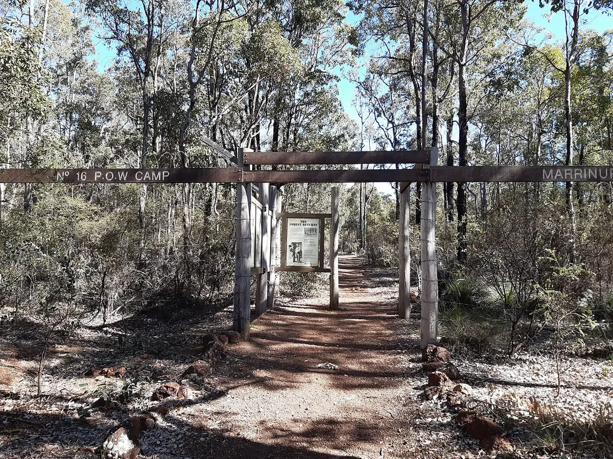
Marrinup POW Camp is a historic site about 4 km from Dwellingup, Western Australia. Location data © OpenStreetMap contributors, available under the ODbL.
Bakewell 542 is a historic site near Highgate, Western Australia. It is managed by Australian Railway Historical Society, W.A. Division (Inc). Location data © OpenStreetMap contributors, available under the ODbL.
Chinese Market Gardens is a historic site about 5 km from Wickham, Western Australia. Location data © OpenStreetMap contributors, available under the ODbL.
READYMIX Logo is a historic site in Western Australia. Giant land carving made by the READYMIX company in 1965, advertising to the trans-continental flight passengers flying overhead. Location data © OpenStreetMap contributors, available under the ODbL.
Sandstone State Battery is a historic site about 6 km from Sandstone, Western Australia. Location data © OpenStreetMap contributors, available under the ODbL.
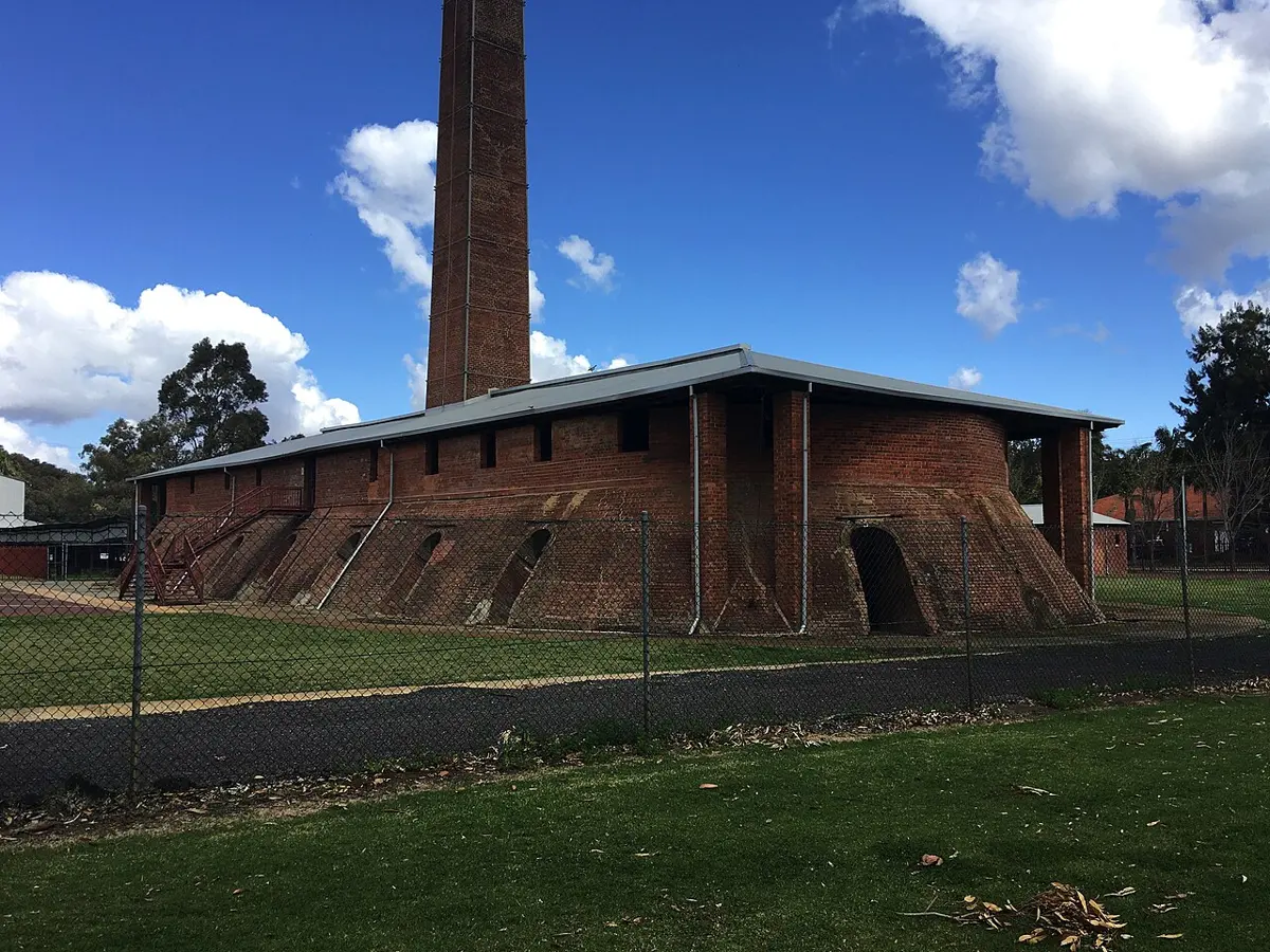
Maylands Brickworks is a historic site near Maylands, Western Australia. Location data © OpenStreetMap contributors, available under the ODbL.
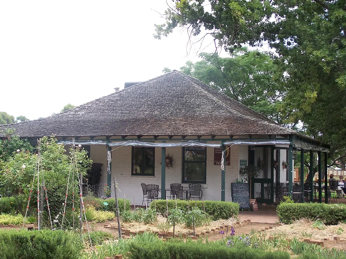
Peninsula Farm is a historic site about 1 km from Maylands, Western Australia. Listed opening hours: Th-Su 10:00-16:00. Official website Location data © OpenStreetMap contributors, available under the ODbL.
Tranby House is a historic site about 1 km from Maylands, Western Australia. Location data © OpenStreetMap contributors, available under the ODbL.
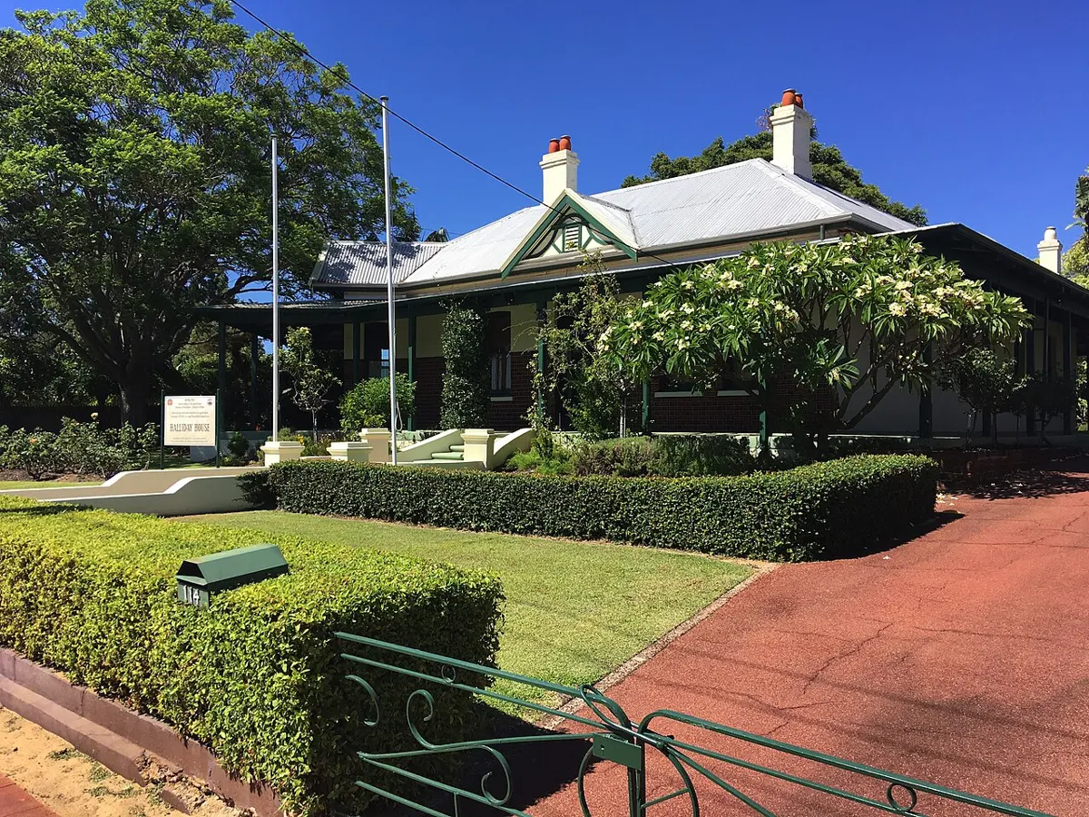
Halliday House is a historic site about 1 km from Bayswater, Western Australia. Listed opening hours: Feb-Nov: Su[4] 13:00-16:00. It is managed by Bayswater Historical Society. Location data © OpenStreetMap contributors, available under the ODbL.