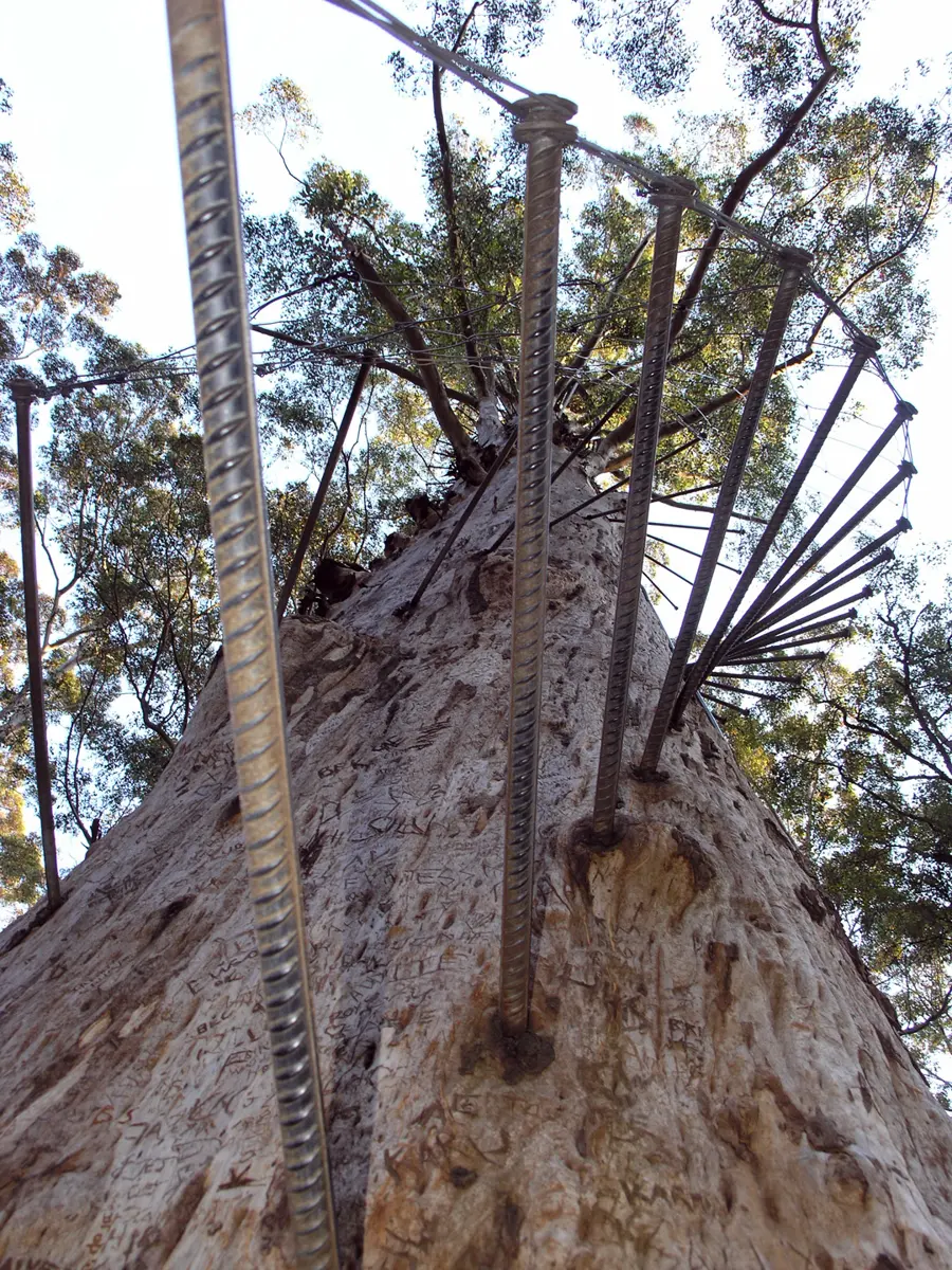
Diamond Tree
Diamond Tree is an attraction about 9 km from Manjimup, Western Australia. Location data © OpenStreetMap contributors, available under the ODbL.
AustraliaWeb: Your Guide to Accessible & Family Travel in Australia
Diamond Tree is an attraction about 9 km from Manjimup, Western Australia. Location data © OpenStreetMap contributors, available under the ODbL.
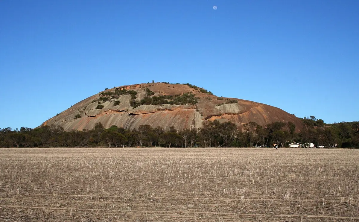
Kokerbin Rock is a lookout about 7 km from Kwolyin, Western Australia. It rises to about 122 m above sea level. Location data © OpenStreetMap contributors, available under the ODbL.
Visitors' Beach Lookout is a lookout about 2 km from Ardyaloon, Western Australia. Location data © OpenStreetMap contributors, available under the ODbL.
Len Beadell Gunbarrell Road Crew Grader is a historic site about 4 km from Warakurna, Western Australia. Location data © OpenStreetMap contributors, available under the ODbL.
Congelin Siding is a historic site about 23 km from Williams, Western Australia. Location data © OpenStreetMap contributors, available under the ODbL.
Firepit is a historic site about 24 km from Williams, Western Australia. Location data © OpenStreetMap contributors, available under the ODbL.
Stockyard is a historic site about 23 km from Williams, Western Australia. Location data © OpenStreetMap contributors, available under the ODbL.
Watertank is a historic site about 24 km from Williams, Western Australia. Location data © OpenStreetMap contributors, available under the ODbL.
Old School Site is a historic site about 10 km from Wandering, Western Australia. Location data © OpenStreetMap contributors, available under the ODbL.
Coral Bay is a beach about 2 km from Coral Bay, Western Australia. It rises to about 0.0 m above sea level. Location data © OpenStreetMap contributors, available under the ODbL.