Oak Ridge Vineyard
Oak Ridge Vineyard is an attraction about 6 km from Healesville, Victoria. Location data © OpenStreetMap contributors, available under the ODbL.
AustraliaWeb: Your Guide to Accessible & Family Travel in Australia
Oak Ridge Vineyard is an attraction about 6 km from Healesville, Victoria. Location data © OpenStreetMap contributors, available under the ODbL.
Brown Brothers Vineyard is an attraction near Milawa, Victoria. Listed opening hours: Mo-Su 09:00-17:00. Official website Location data © OpenStreetMap contributors, available under the ODbL.
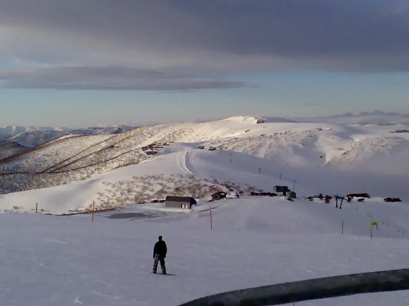
Mount Hotham is a mountain & peak about 2 km from Hotham Village, Victoria. It rises to about 1860.687 m above sea level. Location data © OpenStreetMap contributors, available under the ODbL.
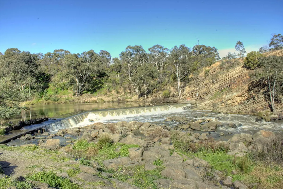
Dights Falls is an attraction near Clifton Hill, Victoria. Rapids, weir, geological feature and intertribal meeting place of Wurundjeri people. Entry is listed as free. It is managed by Parks Victoria. Official website Location data © OpenStreetMap contributors, available under the ODbL.
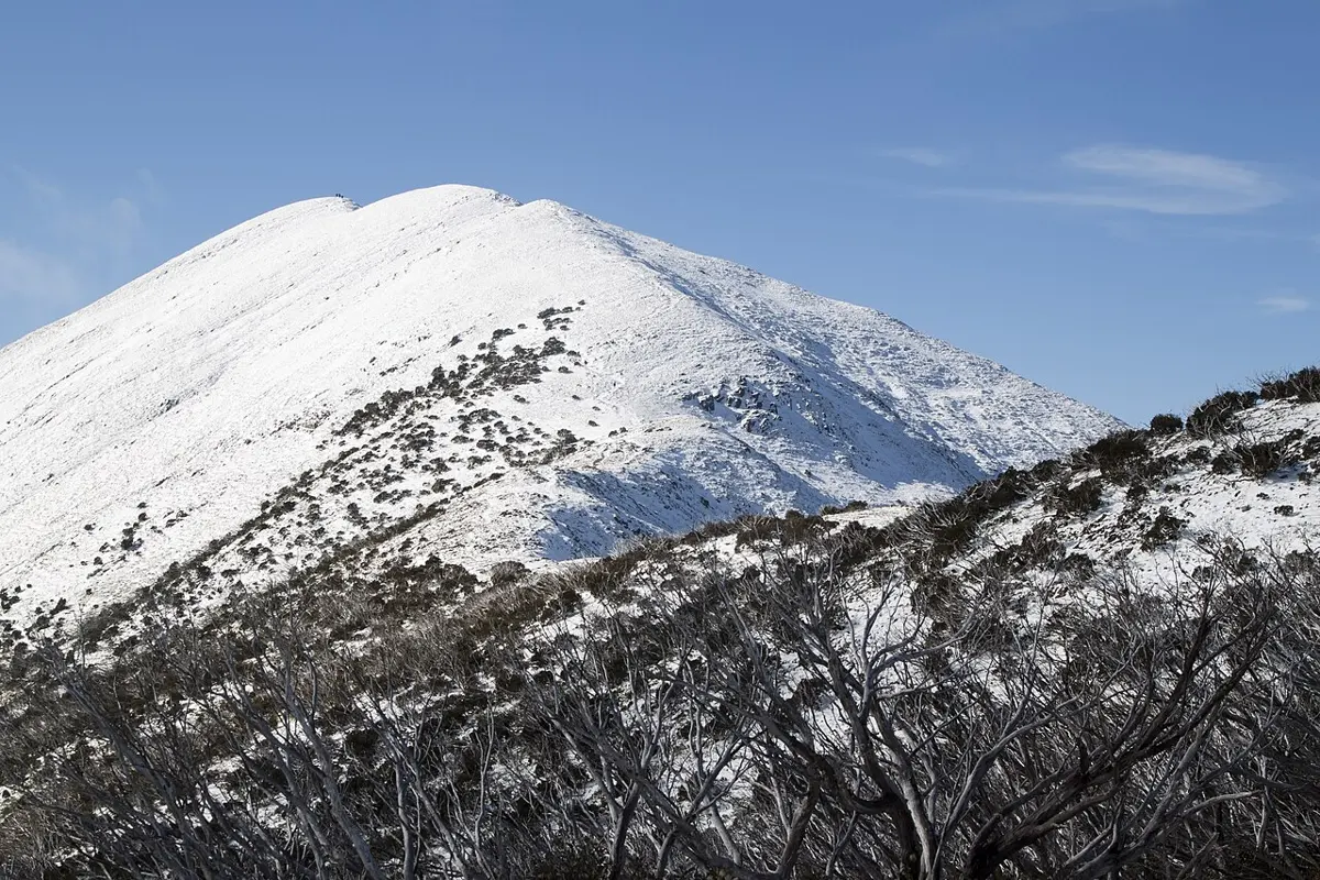
Mount Feathertop is a mountain & peak about 7 km from Harrietville, Victoria. It rises to about 1922 m above sea level. Location data © OpenStreetMap contributors, available under the ODbL.
Strath Creek Falls is a lookout about 15 km from Wandong, Victoria. Location data © OpenStreetMap contributors, available under the ODbL.
Mount Tabletop (Square Mount) is a lookout about 5 km from Dinner Plain, Victoria. Location data © OpenStreetMap contributors, available under the ODbL.
Franklin Point is a lookout near Arthurs Seat, Victoria. Location data © OpenStreetMap contributors, available under the ODbL.
Precipice Plain Lookout is a lookout about 4 km from Dinner Plain, Victoria. Location data © OpenStreetMap contributors, available under the ODbL.
Murrays Lookout is a lookout near Arthurs Seat, Victoria. Location data © OpenStreetMap contributors, available under the ODbL.