SkyHigh Maze
SkyHigh Maze is an attraction near Mount Dandenong, Victoria. Location data © OpenStreetMap contributors, available under the ODbL.
AustraliaWeb: Your Guide to Accessible & Family Travel in Australia
SkyHigh Maze is an attraction near Mount Dandenong, Victoria. Location data © OpenStreetMap contributors, available under the ODbL.
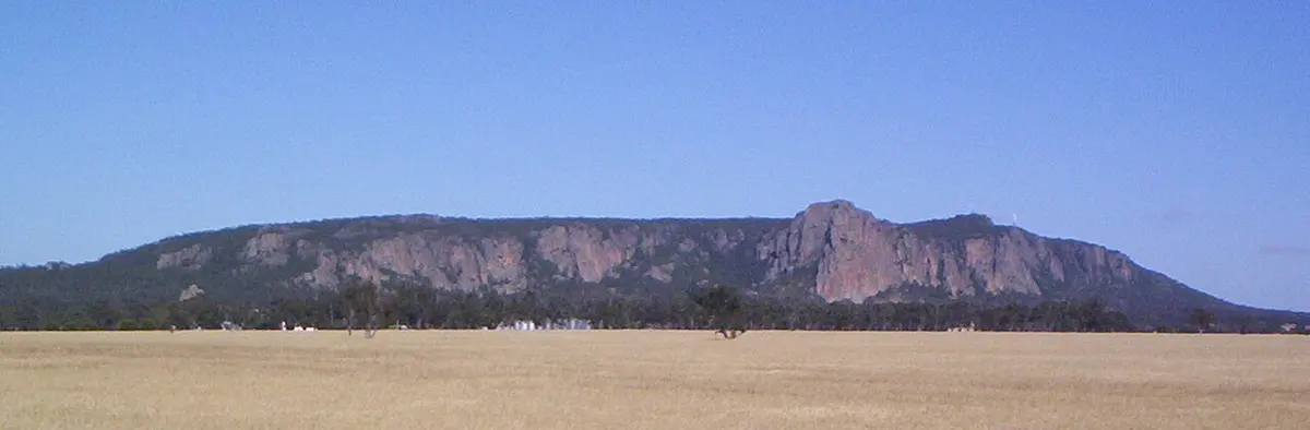
Mount Arapiles is a mountain & peak about 10 km from Natimuk, Victoria. It rises to about 369 m above sea level. Location data © OpenStreetMap contributors, available under the ODbL.
McMillans Lookout is a lookout about 8 km from Omeo, Victoria. Location data © OpenStreetMap contributors, available under the ODbL.
Ryans Lookout is a lookout about 12 km from Wangaratta, Victoria. Location data © OpenStreetMap contributors, available under the ODbL.
Mount Birregun is a mountain & peak in Victoria. It rises to about 1363 m above sea level. Location data © OpenStreetMap contributors, available under the ODbL.
Norris Barracks is a historic site about 1 km from Portsea, Victoria. Location data © OpenStreetMap contributors, available under the ODbL.
Danny's Lookout is a lookout about 3 km from Hotham Village, Victoria. Location data © OpenStreetMap contributors, available under the ODbL.
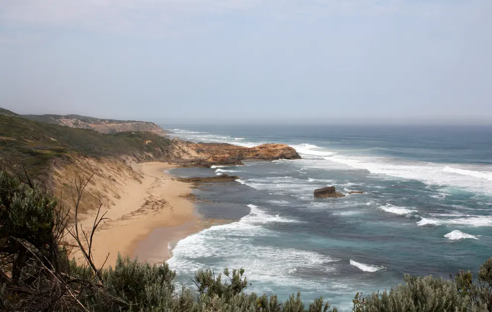
Cheviot Beach is a beach about 3 km from Portsea, Victoria. Location data © OpenStreetMap contributors, available under the ODbL.
Rocky Hill is a lookout near Lysterfield South, Victoria. Location data © OpenStreetMap contributors, available under the ODbL.
Ballaarat Observatory is a museum & gallery near Mount Pleasant, Victoria. Location data © OpenStreetMap contributors, available under the ODbL.