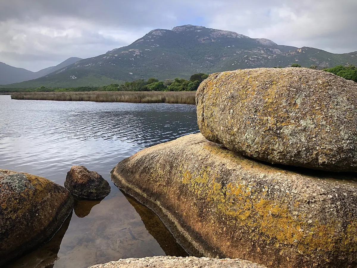
Mount Oberon
Mount Oberon is a mountain & peak in Victoria. It rises to about 546 m above sea level. Location data © OpenStreetMap contributors, available under the ODbL.
AustraliaWeb: Your Guide to Accessible & Family Travel in Australia
Mount Oberon is a mountain & peak in Victoria. It rises to about 546 m above sea level. Location data © OpenStreetMap contributors, available under the ODbL.
Mount Ochtertyre is a mountain & peak about 13 km from Rutherglen, Victoria. It rises to about 225 m above sea level. Location data © OpenStreetMap contributors, available under the ODbL.
Eagle Point Bluff Lookout is a lookout about 1 km from Eagle Point, Victoria. Location data © OpenStreetMap contributors, available under the ODbL.
Chambers Rosewood Vineyards is an attraction about 1 km from Rutherglen, Victoria. Listed opening hours: Mo-Sa 09:00-17:00; Su 10:00-17:00. Official website Location data © OpenStreetMap contributors, available under the ODbL.
Huon Hill Lookout is a lookout about 2 km from Bandiana, Victoria. Location data © OpenStreetMap contributors, available under the ODbL.
Powers Lookout 2 is a lookout about 10 km from Whitfield, Victoria. Wheelchair access is listed as yes. Location data © OpenStreetMap contributors, available under the ODbL.
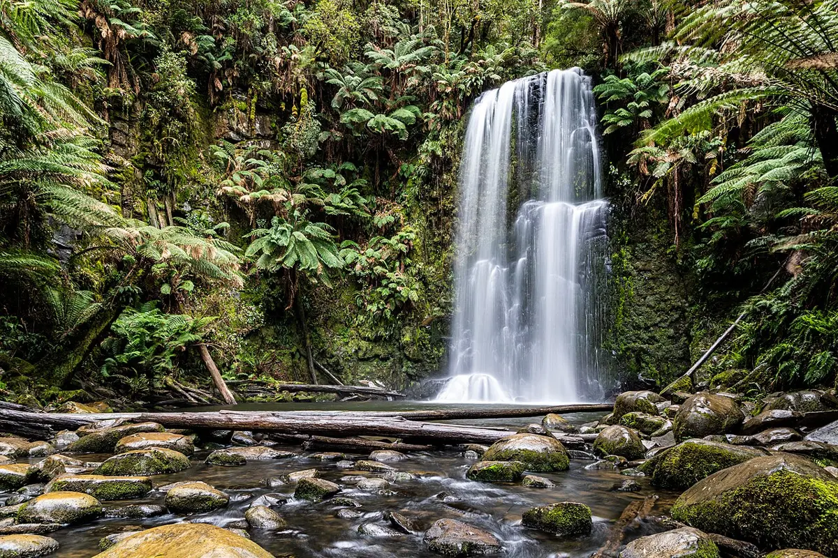
Beauchamp Falls is an attraction about 13 km from Apollo Bay, Victoria. Location data © OpenStreetMap contributors, available under the ODbL.
Mount Blackwood communications tower is a lookout about 5 km from Greendale, Victoria. Location data © OpenStreetMap contributors, available under the ODbL.
Sailors Falls is an attraction about 6 km from Daylesford, Victoria. Location data © OpenStreetMap contributors, available under the ODbL.
Reedy Creek Sluice Lookout is a lookout about 5 km from Beechworth, Victoria. Location data © OpenStreetMap contributors, available under the ODbL.