Murchison Gap Lookout
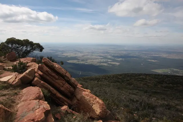
Murchison Gap Lookout is a lookout about 12 km from Broadford, Victoria. Location data © OpenStreetMap contributors, available under the ODbL.
AustraliaWeb: Your Guide to Accessible & Family Travel in Australia
Murchison Gap Lookout is a lookout about 12 km from Broadford, Victoria. Location data © OpenStreetMap contributors, available under the ODbL.
Snowy River Lookout is a lookout about 3 km from Orbost, Victoria. Location data © OpenStreetMap contributors, available under the ODbL.
Dragonfly Lookout is a lookout about 2 km from Heatherton, Victoria. Location data © OpenStreetMap contributors, available under the ODbL.
Mount Torbreck is a mountain & peak about 14 km from Eildon, Victoria. Trig Station. It rises to about 1515 m above sea level. Location data © OpenStreetMap contributors, available under the ODbL.
Black Hill Lookout is a lookout near Black Hill, Victoria. Location data © OpenStreetMap contributors, available under the ODbL.
Ben Cruachan is a mountain & peak about 14 km from Coongulla, Victoria. TRIG STATION. It rises to about 836 m above sea level. Location data © OpenStreetMap contributors, available under the ODbL.
Tower Hill Lookout is a lookout about 2 km from Bright, Victoria. Location data © OpenStreetMap contributors, available under the ODbL.
Mount Kaye is a mountain & peak about 21 km from Cann River, Victoria. It rises to about 1001 m above sea level. Location data © OpenStreetMap contributors, available under the ODbL.
Mount William is a mountain & peak about 11 km from Pomonal, Victoria. It rises to about 1167 m above sea level. Location data © OpenStreetMap contributors, available under the ODbL.
Mount Donna Buang is a mountain & peak about 5 km from Warburton, Victoria. It rises to about 1250 m above sea level. Location data © OpenStreetMap contributors, available under the ODbL.