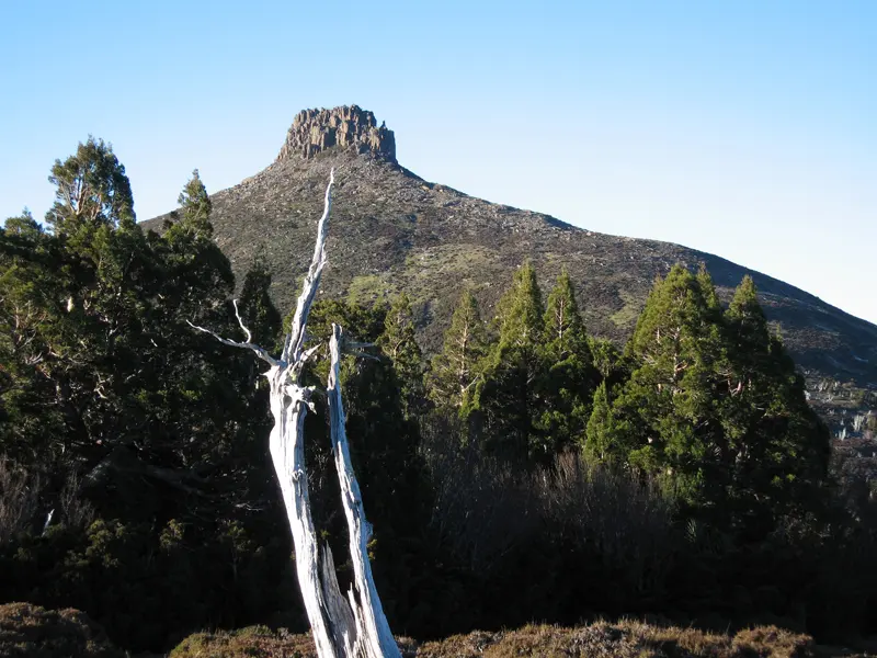
Mount Parmeener
Mount Parmeener is a mountain & peak about 10 km from Mole Creek, Tasmania. It rises to about 1280 m above sea level. Location data © OpenStreetMap contributors, available under the ODbL.
AustraliaWeb: Your Guide to Accessible & Family Travel in Australia
Mount Parmeener is a mountain & peak about 10 km from Mole Creek, Tasmania. It rises to about 1280 m above sea level. Location data © OpenStreetMap contributors, available under the ODbL.
Mount Moriah is a mountain & peak in Tasmania. It rises to about 1362 m above sea level. Location data © OpenStreetMap contributors, available under the ODbL.
Meander Crag is a mountain & peak about 12 km from Meander, Tasmania. It rises to about 1265 m above sea level. Location data © OpenStreetMap contributors, available under the ODbL.
Mount Byron is a mountain & peak in Tasmania. It rises to about 1375 m above sea level. Location data © OpenStreetMap contributors, available under the ODbL.
Precipitous Bluff is a mountain & peak in Tasmania. It rises to about 1145 m above sea level. Location data © OpenStreetMap contributors, available under the ODbL.
Braddons Lookout is a lookout about 2 km from Forth, Tasmania. Location data © OpenStreetMap contributors, available under the ODbL.
Nells Bluff is a mountain & peak about 12 km from Mole Creek, Tasmania. It rises to about 1180 m above sea level. Location data © OpenStreetMap contributors, available under the ODbL.
Lamonts Lookout is a mountain & peak in Tasmania. It rises to about 1420 m above sea level. Location data © OpenStreetMap contributors, available under the ODbL.
Dome Hill is a mountain & peak about 16 km from Meander, Tasmania. It rises to about 1284 m above sea level. Location data © OpenStreetMap contributors, available under the ODbL.
Mount Pelion East is a mountain & peak in Tasmania. It rises to about 1461 m above sea level. Location data © OpenStreetMap contributors, available under the ODbL.