Hartz Peak
Hartz Peak is a mountain & peak about 16 km from Geeveston, Tasmania. It rises to about 1254 m above sea level. Location data © OpenStreetMap contributors, available under the ODbL.
AustraliaWeb: Your Guide to Accessible & Family Travel in Australia
Hartz Peak is a mountain & peak about 16 km from Geeveston, Tasmania. It rises to about 1254 m above sea level. Location data © OpenStreetMap contributors, available under the ODbL.
Mt Barrow Stone Hut is a lookout about 10 km from Nunamara, Tasmania. Location data © OpenStreetMap contributors, available under the ODbL.
Iron Horse Trough & Lamp is a historic site near Longford, Tasmania. Location data © OpenStreetMap contributors, available under the ODbL.
Tasmanian Transport Museum is a museum & gallery near Glenorchy, Tasmania. Listed opening hours: Sa, Su 13:00-15:00. Location data © OpenStreetMap contributors, available under the ODbL.
The Sheeps Back is an attraction near Launceston, Tasmania. Location data © OpenStreetMap contributors, available under the ODbL.
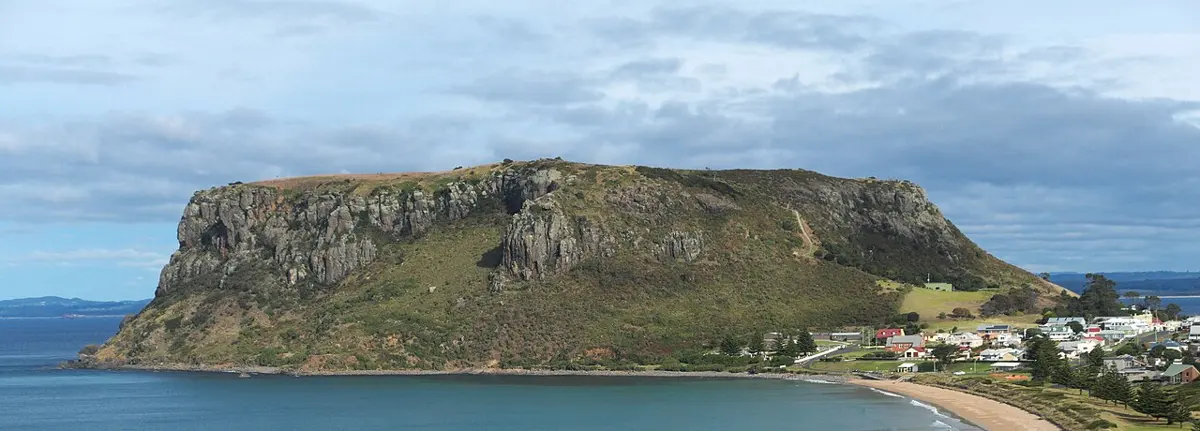
The Nut is a mountain & peak near Stanley, Tasmania. It rises to about 143 m above sea level. Location data © OpenStreetMap contributors, available under the ODbL.
The Old Umbrella Shop is an attraction near Launceston, Tasmania. Location data © OpenStreetMap contributors, available under the ODbL.
Pulpit Rock is a lookout about 15 km from Zeehan, Tasmania. Location data © OpenStreetMap contributors, available under the ODbL.
Old Brisbane Hotel Façade is a historic site near Launceston, Tasmania. Location data © OpenStreetMap contributors, available under the ODbL.
Waterfall is a lookout about 24 km from Zeehan, Tasmania. Location data © OpenStreetMap contributors, available under the ODbL.