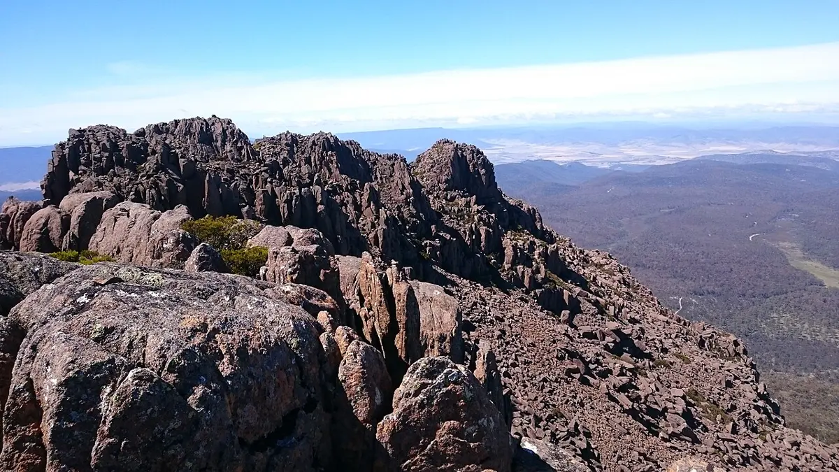
Magog
Magog is a mountain & peak about 13 km from Deloraine, Tasmania. It rises to about 470 m above sea level. Location data © OpenStreetMap contributors, available under the ODbL.
AustraliaWeb: Your Guide to Accessible & Family Travel in Australia
Magog is a mountain & peak about 13 km from Deloraine, Tasmania. It rises to about 470 m above sea level. Location data © OpenStreetMap contributors, available under the ODbL.
Heimdall Crag is a mountain & peak about 10 km from Rossarden, Tasmania. It rises to about 1380 m above sea level. Location data © OpenStreetMap contributors, available under the ODbL.
Kimberleys Lookout is a mountain & peak about 3 km from Sheffield, Tasmania. It rises to about 548 m above sea level. Location data © OpenStreetMap contributors, available under the ODbL.
Magnet Crag is a mountain & peak about 16 km from Rossarden, Tasmania. It rises to about 1464 m above sea level. Location data © OpenStreetMap contributors, available under the ODbL.
D'Arcys Bluff is a mountain & peak in Tasmania. It rises to about 1182 m above sea level. Location data © OpenStreetMap contributors, available under the ODbL.
Ossians Throne is a mountain & peak about 14 km from Rossarden, Tasmania. It rises to about 1498 m above sea level. Location data © OpenStreetMap contributors, available under the ODbL.
Wentworth Hills is a mountain & peak in Tasmania. It rises to about 1244 m above sea level. Location data © OpenStreetMap contributors, available under the ODbL.
Ragged Jack is a mountain & peak in Tasmania. It rises to about 1369 m above sea level. Location data © OpenStreetMap contributors, available under the ODbL.
Camp Hill is a mountain & peak about 24 km from Queenstown, Tasmania. It rises to about 1172 m above sea level. Location data © OpenStreetMap contributors, available under the ODbL.
Stacks Bluff is a mountain & peak about 7 km from Rossarden, Tasmania. It rises to about 1528 m above sea level. Location data © OpenStreetMap contributors, available under the ODbL.