Saint Mary Peak
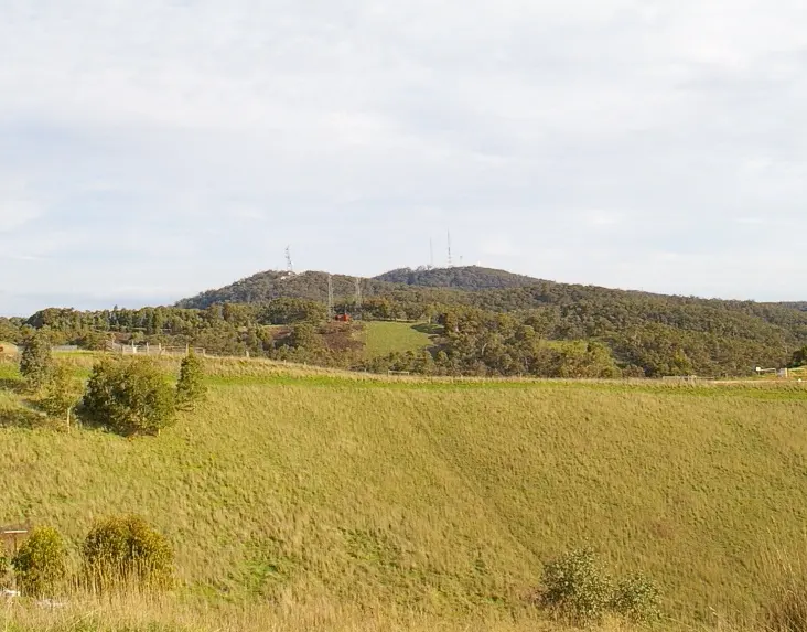
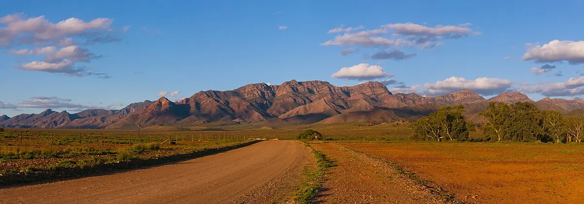
Saint Mary Peak is a mountain & peak in South Australia. It rises to about 1171 m above sea level. Location data © OpenStreetMap contributors, available under the ODbL.
AustraliaWeb: Your Guide to Accessible & Family Travel in Australia
Saint Mary Peak is a mountain & peak in South Australia. It rises to about 1171 m above sea level. Location data © OpenStreetMap contributors, available under the ODbL.
Sugarloaf Hill is a lookout about 1 km from Greenhill, South Australia. Location data © OpenStreetMap contributors, available under the ODbL.
ZigZag Hill is a mountain & peak about 2 km from Greenhill, South Australia. Location data © OpenStreetMap contributors, available under the ODbL.
Mount Bonython is a mountain & peak about 2 km from Summertown, South Australia. It rises to about 682 m above sea level. Location data © OpenStreetMap contributors, available under the ODbL.
Historic Windmill is an attraction about 3 km from Mount Barker, South Australia. Location data © OpenStreetMap contributors, available under the ODbL.
Billy Goat Hill Lookout is a lookout near Clare, South Australia. Location data © OpenStreetMap contributors, available under the ODbL.
First Falls is a lookout near Teringie, South Australia. Location data © OpenStreetMap contributors, available under the ODbL.
Admirals Arch is an attraction in South Australia. Location data © OpenStreetMap contributors, available under the ODbL.
Remarkable Rocks is an attraction in South Australia. Location data © OpenStreetMap contributors, available under the ODbL.
Deep View Lookout is a lookout about 1 km from Teringie, South Australia. Location data © OpenStreetMap contributors, available under the ODbL.