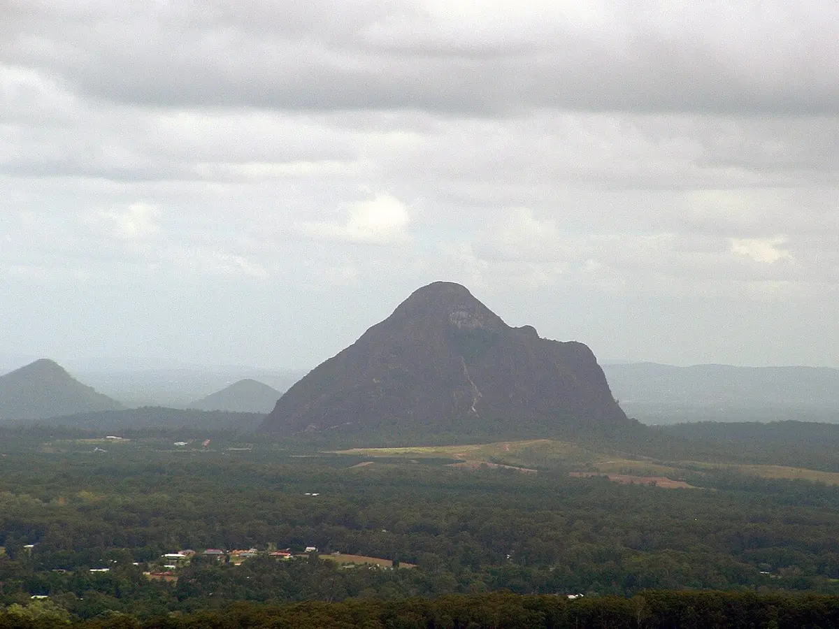
Tree Top Walk Ladder
Tree Top Walk Ladder is a lookout about 13 km from Springbrook, Queensland. Location data © OpenStreetMap contributors, available under the ODbL.
AustraliaWeb: Your Guide to Accessible & Family Travel in Australia
Tree Top Walk Ladder is a lookout about 13 km from Springbrook, Queensland. Location data © OpenStreetMap contributors, available under the ODbL.
Cooee View is a lookout about 3 km from Glass House Mountains, Queensland. Location data © OpenStreetMap contributors, available under the ODbL.
Picnic Rock is an attraction about 13 km from Springbrook, Queensland. Location data © OpenStreetMap contributors, available under the ODbL.
Campbells Wharf Outlook is a lookout near Macleay Island, Queensland. Location data © OpenStreetMap contributors, available under the ODbL.
Mount Beerwah is a mountain & peak about 6 km from Peachester, Queensland. It rises to about 555 m above sea level. Location data © OpenStreetMap contributors, available under the ODbL.
Macleay Island Water Tank is an attraction near Macleay Island, Queensland. Location data © OpenStreetMap contributors, available under the ODbL.
Mount Coonowrin is a mountain & peak about 6 km from Peachester, Queensland. It rises to about 377 m above sea level. Location data © OpenStreetMap contributors, available under the ODbL.
Billabong Outlook is a lookout about 2 km from Berrinba, Queensland. Location data © OpenStreetMap contributors, available under the ODbL.
Bora Ring is a lookout near Nudgee, Queensland. Location data © OpenStreetMap contributors, available under the ODbL.
John Flynn Place is a museum & gallery near Cloncurry, Queensland. Location data © OpenStreetMap contributors, available under the ODbL.