Naninga Lookout
Naninga Lookout is a lookout near Yulara, the Northern Territory. Location data © OpenStreetMap contributors, available under the ODbL.
AustraliaWeb: Your Guide to Accessible & Family Travel in Australia
Naninga Lookout is a lookout near Yulara, the Northern Territory. Location data © OpenStreetMap contributors, available under the ODbL.
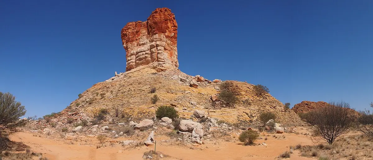
Chambers Pillar is a lookout in the Northern Territory. Location data © OpenStreetMap contributors, available under the ODbL.
Mount Leisler is a mountain & peak about 7 km from Kintore, the Northern Territory. It rises to about 897 m above sea level. Location data © OpenStreetMap contributors, available under the ODbL.
Darwin River Dam Spillway is a lookout about 12 km from Southport, the Northern Territory. Location data © OpenStreetMap contributors, available under the ODbL.
Mount Mein is a mountain & peak in the Northern Territory. It rises to about 576 m above sea level. Location data © OpenStreetMap contributors, available under the ODbL.
Kapi Mutitjulu (Mutitjulu Waterhole) is an attraction about 3 km from Mutitjulu, the Northern Territory. Wheelchair access is listed as yes. Location data © OpenStreetMap contributors, available under the ODbL.
Tropic of Capricorn Plaque is an attraction about 18 km from Kintore, the Northern Territory. Location data © OpenStreetMap contributors, available under the ODbL.
High Point is an attraction about 19 km from Alice Springs, the Northern Territory. Highest Point between Adelaide and Darwin. Location data © OpenStreetMap contributors, available under the ODbL.
Crystal Falls is a waterfall in the Northern Territory. Location data © OpenStreetMap contributors, available under the ODbL.
Point Howard Lookout is a lookout in the Northern Territory. Location data © OpenStreetMap contributors, available under the ODbL.