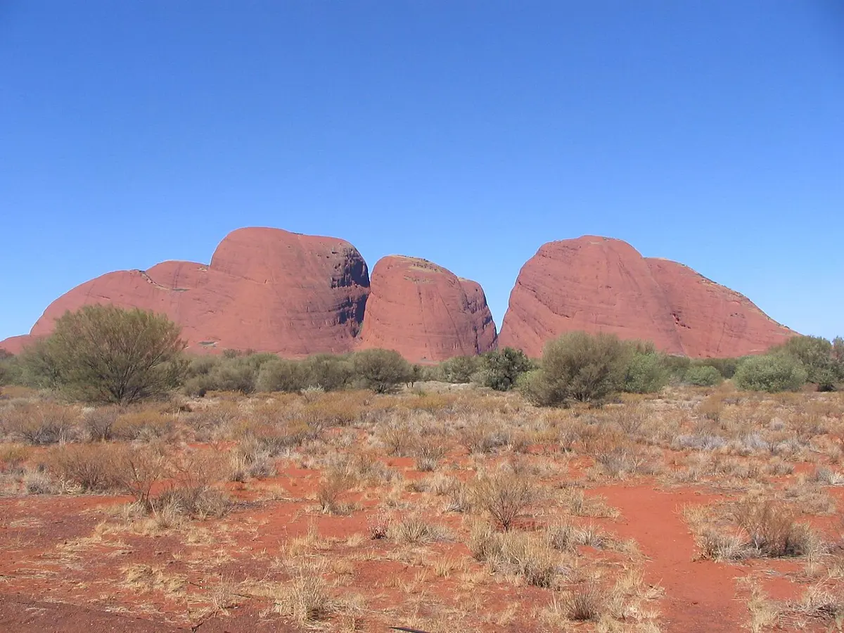
Bridle Path Lookout
Bridle Path Lookout is a lookout in the Northern Territory. Location data © OpenStreetMap contributors, available under the ODbL.
AustraliaWeb: Your Guide to Accessible & Family Travel in Australia
Bridle Path Lookout is a lookout in the Northern Territory. Location data © OpenStreetMap contributors, available under the ODbL.
Kata Tjuṯa is a mountain & peak in the Northern Territory. It rises to about 1066 m above sea level. Location data © OpenStreetMap contributors, available under the ODbL.
Reveal Saddle is a lookout in the Northern Territory. Location data © OpenStreetMap contributors, available under the ODbL.
Kata Tjuta (The Olgas) is an attraction about 24 km from Yulara, the Northern Territory. Location data © OpenStreetMap contributors, available under the ODbL.
Palms Bend is an attraction about 13 km from Hermannsburg, the Northern Territory. Location data © OpenStreetMap contributors, available under the ODbL.
VH-AJS Crash Site is a historic site about 3 km from Kilgariff, the Northern Territory. Location data © OpenStreetMap contributors, available under the ODbL.
Pyndan Camel Tracks is an attraction about 2 km from White Gums, the Northern Territory. Listed opening hours: "unknown"; Dec 25 off; Apr 11 off. Official website Location data © OpenStreetMap contributors, available under the ODbL.
Coolabah Swamp and Native Fig Lookout is a lookout near Alice Springs, the Northern Territory. Location data © OpenStreetMap contributors, available under the ODbL.
Birthday Waterhole is an attraction in the Northern Territory. Location data © OpenStreetMap contributors, available under the ODbL.
River and Ranges Lookout is a lookout near Alice Springs, the Northern Territory. Location data © OpenStreetMap contributors, available under the ODbL.