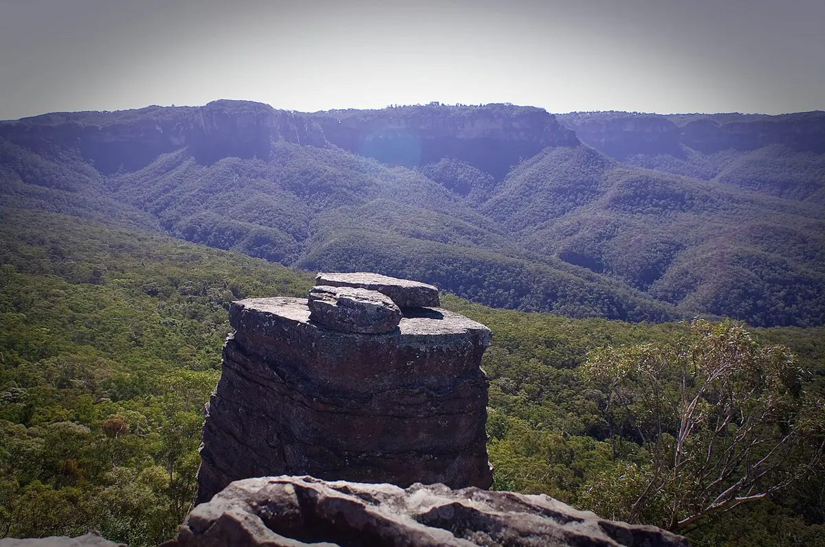
The Ruined Castle
The Ruined Castle is a mountain & peak about 6 km from Katoomba, New South Wales. It rises to about 822 m above sea level. Location data © OpenStreetMap contributors, available under the ODbL.
AustraliaWeb: Your Guide to Accessible & Family Travel in Australia
The Ruined Castle is a mountain & peak about 6 km from Katoomba, New South Wales. It rises to about 822 m above sea level. Location data © OpenStreetMap contributors, available under the ODbL.
Valley View Lookout is a lookout about 4 km from Blackheath, New South Wales. Location data © OpenStreetMap contributors, available under the ODbL.
Braemar Gallery is a museum & gallery near Springwood, New South Wales. Braemar House. Listed opening hours: Mo-Fr 10:00-16:00. Entry is listed as free. Location data © OpenStreetMap contributors, available under the ODbL.
Evans Lookout (Upper) is a lookout about 4 km from Blackheath, New South Wales. Wheelchair access is listed as yes. Location data © OpenStreetMap contributors, available under the ODbL.
Terry Road Lookout is a lookout near Denistone, New South Wales. Location data © OpenStreetMap contributors, available under the ODbL.
Bridal Veil Lookout is a lookout about 1 km from Leura, New South Wales. Location data © OpenStreetMap contributors, available under the ODbL.
Lomandra Lookout is a lookout about 1 km from Katoomba, New South Wales. Location data © OpenStreetMap contributors, available under the ODbL.
Oreades Lookout is a lookout about 2 km from Katoomba, New South Wales. It rises to about 976 m above sea level. Location data © OpenStreetMap contributors, available under the ODbL.
Hawkesbury Lookout is a lookout near Hawkesbury Heights, New South Wales. Located at Hawkesbury Heights – one of the Blue Mountains’ smallest towns, this grassy lookout is bordered by tall trees & looks out over the Nepean River & across the Cumberland Plain. There are picnic tables plus it’s a dog-friendly park (on-leash). Official website … Read more
Lady Game Lookout is a lookout about 2 km from Katoomba, New South Wales. It rises to about 970 m above sea level. Location data © OpenStreetMap contributors, available under the ODbL.