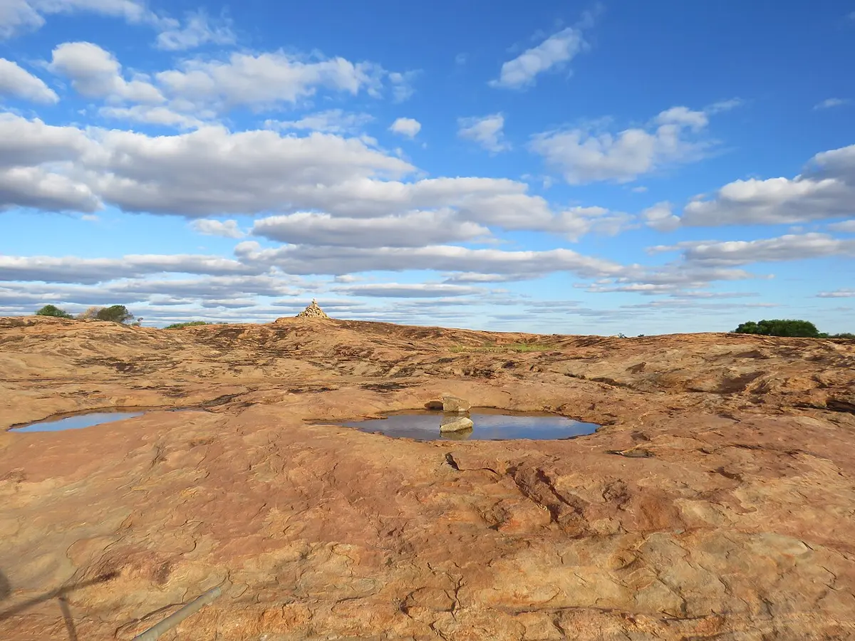
Camel Soak
Camel Soak is an attraction in Western Australia. Location data © OpenStreetMap contributors, available under the ODbL.
AustraliaWeb: Your Guide to Accessible & Family Travel in Australia
Camel Soak is an attraction in Western Australia. Location data © OpenStreetMap contributors, available under the ODbL.
Marlston Hill Lookout is a lookout near Bunbury, Western Australia. Location data © OpenStreetMap contributors, available under the ODbL.
Sunset Beach is a beach about 2 km from Onslow, Western Australia. Location data © OpenStreetMap contributors, available under the ODbL.
Cowaramup Pt (S) is a beach about 1 km from Gracetown, Western Australia. Location data © OpenStreetMap contributors, available under the ODbL.
Big Rock is a beach about 2 km from Gracetown, Western Australia. Location data © OpenStreetMap contributors, available under the ODbL.
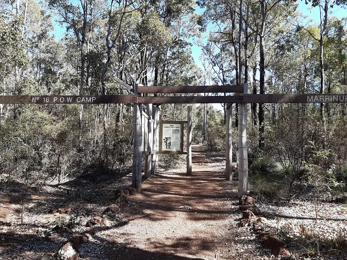
Marrinup POW Camp is a historic site about 4 km from Dwellingup, Western Australia. Location data © OpenStreetMap contributors, available under the ODbL.
Millers' Bakehouse is an attraction near Palmyra, Western Australia. Location data © OpenStreetMap contributors, available under the ODbL.
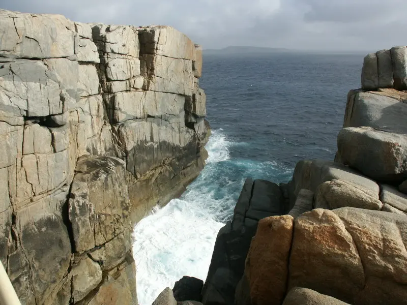
Torndirrup National Park is a national park about 1 km from Goode Beach, Western Australia. Location data © OpenStreetMap contributors, available under the ODbL.
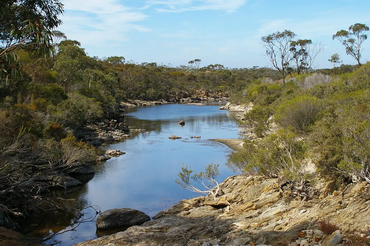
Fitzgerald River National Park is a national park in Western Australia. Official website Location data © OpenStreetMap contributors, available under the ODbL.
Wooditjup National Park is a national park about 3 km from Margaret River, Western Australia. It is managed by WA-Department of Parks and Wildlife (DPaW). Location data © OpenStreetMap contributors, available under the ODbL.