Walls Lookout
Walls Lookout is a lookout about 8 km from Blackheath, New South Wales. Location data © OpenStreetMap contributors, available under the ODbL.
AustraliaWeb: Your Guide to Accessible & Family Travel in Australia
Walls Lookout is a lookout about 8 km from Blackheath, New South Wales. Location data © OpenStreetMap contributors, available under the ODbL.
Hawkins Lookout is a lookout about 2 km from Wisemans Ferry, New South Wales. Location data © OpenStreetMap contributors, available under the ODbL.
Cambewarra Lookout is a lookout about 2 km from Beaumont, New South Wales. Listed opening hours: Mo-Su 07:30-21:00. Location data © OpenStreetMap contributors, available under the ODbL.
Victoria Lookout is a lookout near Mount Keira, New South Wales. Location data © OpenStreetMap contributors, available under the ODbL.
Cape Byron Lighthouse is an attraction about 2 km from Byron Bay, New South Wales. Location data © OpenStreetMap contributors, available under the ODbL.
Moeyan Hill is a mountain & peak about 3 km from Berry, New South Wales. It rises to about 163 m above sea level. Location data © OpenStreetMap contributors, available under the ODbL.
Coolangatta Mountain is a mountain & peak about 3 km from Shoalhaven Heads, New South Wales. It rises to about 300 m above sea level. Location data © OpenStreetMap contributors, available under the ODbL.
Berry Museum is a museum & gallery near Berry, New South Wales. Listed opening hours: Sa,Su 11:00-15:00. Entry is listed as free. Location data © OpenStreetMap contributors, available under the ODbL.
Barnett Lookout is a lookout about 1 km from Berowra Heights, New South Wales. Location data © OpenStreetMap contributors, available under the ODbL.
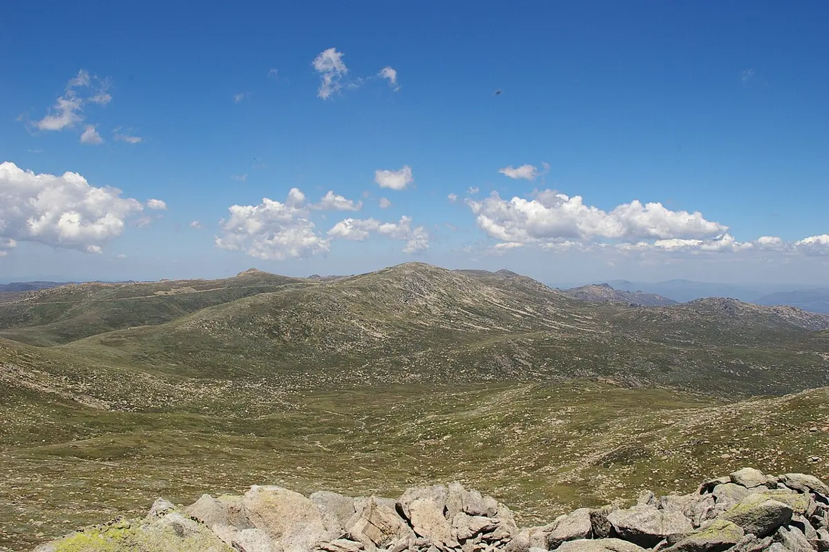
Mount Kościuszko is a mountain & peak about 7 km from Thredbo, New South Wales. Highest point of the Australian mainland. It rises to about 2228 m above sea level. Location data © OpenStreetMap contributors, available under the ODbL.