Wollomombi Falls
Wollomombi Falls is a waterfall about 2 km from Wollomombi, New South Wales. Location data © OpenStreetMap contributors, available under the ODbL.
AustraliaWeb: Your Guide to Accessible & Family Travel in Australia
Wollomombi Falls is a waterfall about 2 km from Wollomombi, New South Wales. Location data © OpenStreetMap contributors, available under the ODbL.
Oaky Falls is a waterfall about 7 km from Wollomombi, New South Wales. Location data © OpenStreetMap contributors, available under the ODbL.
Chandler Falls is a waterfall about 2 km from Wollomombi, New South Wales. Location data © OpenStreetMap contributors, available under the ODbL.
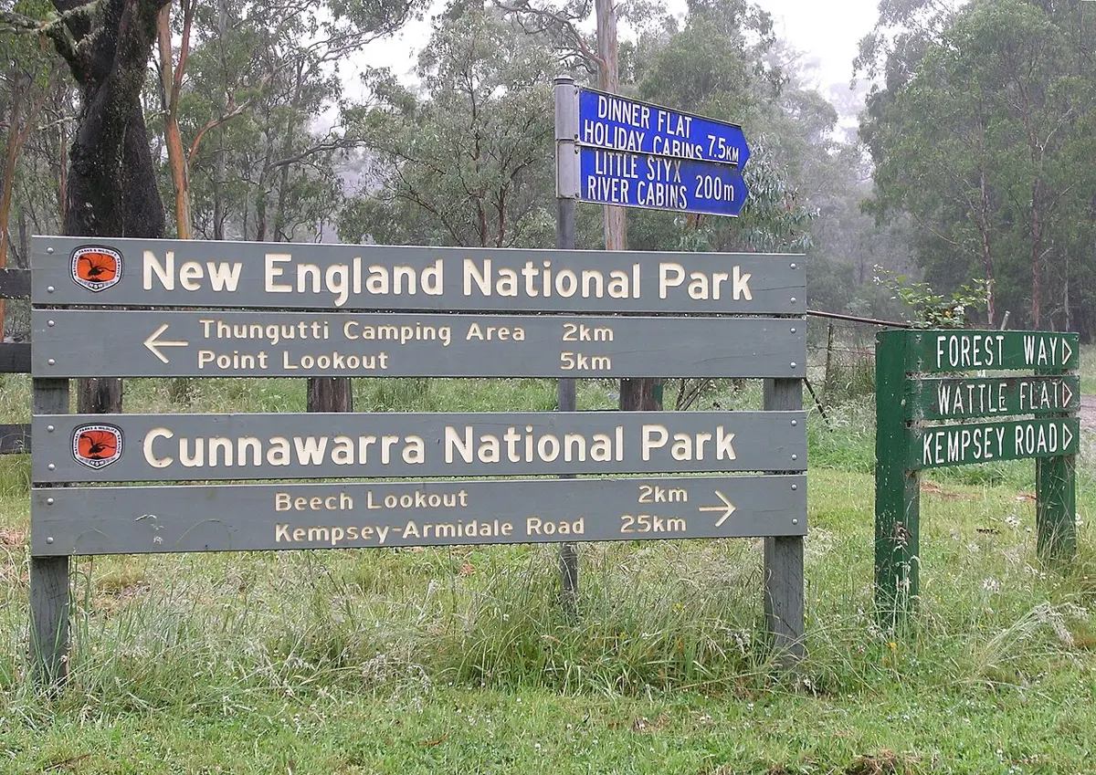
Cunnawarra National Park is a national park about 21 km from Wollomombi, New South Wales. It is managed by NSW National Parks and Wildlife Service. Location data © OpenStreetMap contributors, available under the ODbL.
Avondale State Conservation Area is a national park about 19 km from Wollomombi, New South Wales. It is managed by NSW National Parks and Wildlife Service. Location data © OpenStreetMap contributors, available under the ODbL.
Raspberry Fire Lookout is a lookout about 20 km from Wollomombi, New South Wales. Location data © OpenStreetMap contributors, available under the ODbL.
Eely Creek Fire Lookout is a lookout about 19 km from Wollomombi, New South Wales. Location data © OpenStreetMap contributors, available under the ODbL.
Edgars Lookout is a lookout about 3 km from Wollomombi, New South Wales. Location data © OpenStreetMap contributors, available under the ODbL.
Chandler Falls Lookout is a lookout about 2 km from Wollomombi, New South Wales. Location data © OpenStreetMap contributors, available under the ODbL.
Checks Lookout is a lookout about 3 km from Wollomombi, New South Wales. Location data © OpenStreetMap contributors, available under the ODbL.