Sylvia Falls
Sylvia Falls is a waterfall about 1 km from Wentworth Falls, New South Wales. Location data © OpenStreetMap contributors, available under the ODbL.
AustraliaWeb: Your Guide to Accessible & Family Travel in Australia
Sylvia Falls is a waterfall about 1 km from Wentworth Falls, New South Wales. Location data © OpenStreetMap contributors, available under the ODbL.
Lincolns Rock is a lookout about 3 km from Wentworth Falls, New South Wales. It is managed by Blue Mountains City Council. Location data © OpenStreetMap contributors, available under the ODbL.
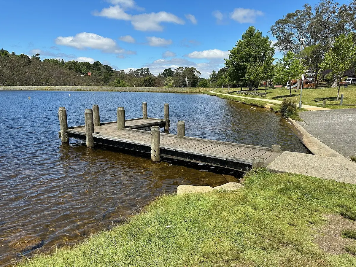
Wentworth Falls Lake Beach is a beach about 1 km from Wentworth Falls, New South Wales. Location data © OpenStreetMap contributors, available under the ODbL.
Wentworth Falls Lake Reserve is a nature reserve about 1 km from Wentworth Falls, New South Wales. Location data © OpenStreetMap contributors, available under the ODbL.
Falls Gallery is a museum & gallery near Wentworth Falls, New South Wales. Location data © OpenStreetMap contributors, available under the ODbL.
Bodington Hill is a mountain & peak about 2 km from Wentworth Falls, New South Wales. It rises to about 886 m above sea level. Location data © OpenStreetMap contributors, available under the ODbL.
Camp Cave Hill is a mountain & peak about 7 km from Wentworth Falls, New South Wales. Location data © OpenStreetMap contributors, available under the ODbL.
Tarella Cottage is a museum & gallery about 2 km from Wentworth Falls, New South Wales. Official website Location data © OpenStreetMap contributors, available under the ODbL.
Sunset Rock Lookout is a lookout about 5 km from Wentworth Falls, New South Wales. Location data © OpenStreetMap contributors, available under the ODbL.
Rocket Point Lookout is a lookout about 1 km from Wentworth Falls, New South Wales. Location data © OpenStreetMap contributors, available under the ODbL.