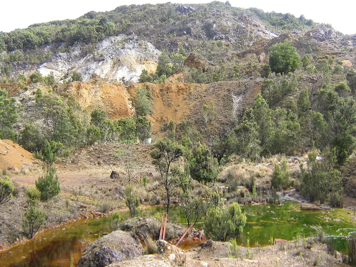
Philosopher Falls
Philosopher Falls is a waterfall about 6 km from Waratah, Tasmania. Location data © OpenStreetMap contributors, available under the ODbL.
AustraliaWeb: Your Guide to Accessible & Family Travel in Australia
Philosopher Falls is a waterfall about 6 km from Waratah, Tasmania. Location data © OpenStreetMap contributors, available under the ODbL.
Wombat Hill is a mountain & peak about 9 km from Waratah, Tasmania. Location data © OpenStreetMap contributors, available under the ODbL.
Mount Ramsay is a mountain & peak about 17 km from Waratah, Tasmania. It rises to about 855 m above sea level. Location data © OpenStreetMap contributors, available under the ODbL.
Mount Cleveland is a mountain & peak about 13 km from Waratah, Tasmania. It rises to about 855 m above sea level. Location data © OpenStreetMap contributors, available under the ODbL.
Mount Bell is a mountain & peak about 16 km from Waratah, Tasmania. Location data © OpenStreetMap contributors, available under the ODbL.
Mount Bischoff is a mountain & peak about 2 km from Waratah, Tasmania. It rises to about 785 m above sea level. Location data © OpenStreetMap contributors, available under the ODbL.
Burgess Hill is a mountain & peak about 17 km from Waratah, Tasmania. Location data © OpenStreetMap contributors, available under the ODbL.
Bronzite Hill is a mountain & peak about 16 km from Waratah, Tasmania. Location data © OpenStreetMap contributors, available under the ODbL.
Belmont Hill is a mountain & peak about 5 km from Waratah, Tasmania. It rises to about 610 m above sea level. Location data © OpenStreetMap contributors, available under the ODbL.
Mount Pearse is a mountain & peak about 9 km from Waratah, Tasmania. It rises to about 1001 m above sea level. Location data © OpenStreetMap contributors, available under the ODbL.