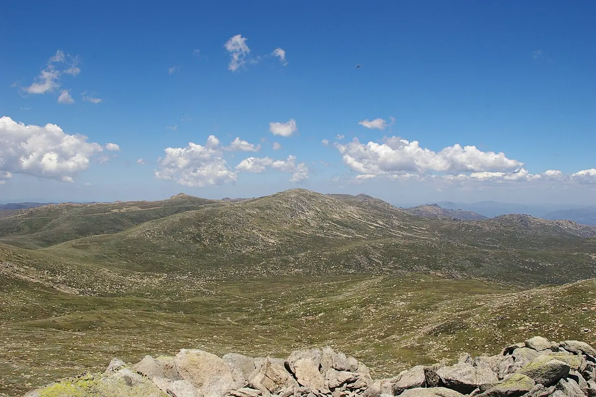
Tin Mine Falls
Tin Mine Falls is a waterfall about 20 km from Thredbo, New South Wales. Location data © OpenStreetMap contributors, available under the ODbL.
AustraliaWeb: Your Guide to Accessible & Family Travel in Australia
Tin Mine Falls is a waterfall about 20 km from Thredbo, New South Wales. Location data © OpenStreetMap contributors, available under the ODbL.
Cootapatamba Lookout is a lookout about 5 km from Thredbo, New South Wales. Location data © OpenStreetMap contributors, available under the ODbL.
Thredbo Alpine Museum is a museum & gallery near Thredbo, New South Wales. Listed opening hours: Jul-Sep Tu-Su 13:00-17:00; Oct,Feb-Apr PH,Sa-Su 13:00-17:00; Dec 26-Jan 26 12:00-16:00. An entry fee applies. It is managed by Thredbo Historical Society. Official website Location data © OpenStreetMap contributors, available under the ODbL.
Thredbo Community Bell is an attraction about 3 km from Thredbo, New South Wales. Australia's Highest Lifted Point. It rises to about 2037 m above sea level. Location data © OpenStreetMap contributors, available under the ODbL.
Pilot View Lookout is a lookout about 8 km from Thredbo, New South Wales. Location data © OpenStreetMap contributors, available under the ODbL.
Kosciusko Lookout is a lookout about 4 km from Thredbo, New South Wales. Location data © OpenStreetMap contributors, available under the ODbL.
Lake Cootapatamba Lookout is a lookout about 6 km from Thredbo, New South Wales. Location data © OpenStreetMap contributors, available under the ODbL.
Mount Kościuszko is a mountain & peak about 7 km from Thredbo, New South Wales. Highest point of the Australian mainland. It rises to about 2228 m above sea level. Location data © OpenStreetMap contributors, available under the ODbL.