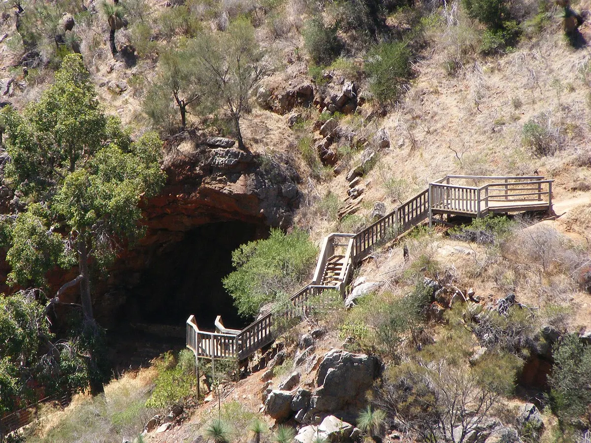
Morialta Conservation Park
Morialta Conservation Park is a nature reserve about 2 km from Teringie, South Australia. Official website Location data © OpenStreetMap contributors, available under the ODbL.
AustraliaWeb: Your Guide to Accessible & Family Travel in Australia
Morialta Conservation Park is a nature reserve about 2 km from Teringie, South Australia. Official website Location data © OpenStreetMap contributors, available under the ODbL.
Eagles Nest Lookout is a lookout about 1 km from Teringie, South Australia. Location data © OpenStreetMap contributors, available under the ODbL.
Second Falls is a lookout near Teringie, South Australia. Location data © OpenStreetMap contributors, available under the ODbL.
Kookaburra Rock Lookout is a lookout about 1 km from Teringie, South Australia. Location data © OpenStreetMap contributors, available under the ODbL.
Third Falls is a lookout near Teringie, South Australia. Location data © OpenStreetMap contributors, available under the ODbL.
Rocky Hill is a mountain & peak about 2 km from Teringie, South Australia. It rises to about 427 m above sea level. Location data © OpenStreetMap contributors, available under the ODbL.
Giant's Cave is an attraction about 1 km from Teringie, South Australia. Location data © OpenStreetMap contributors, available under the ODbL.
First Falls is a lookout near Teringie, South Australia. Location data © OpenStreetMap contributors, available under the ODbL.
Deep View Lookout is a lookout about 1 km from Teringie, South Australia. Location data © OpenStreetMap contributors, available under the ODbL.