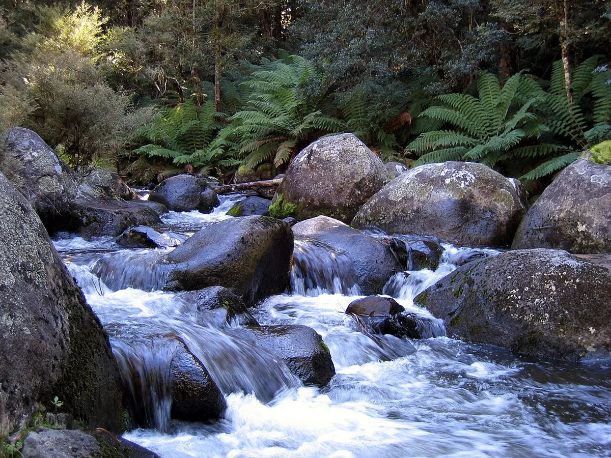
Williams Falls
Williams Falls is a waterfall about 17 km from Salisbury, New South Wales. Location data © OpenStreetMap contributors, available under the ODbL.
AustraliaWeb: Your Guide to Accessible & Family Travel in Australia
Williams Falls is a waterfall about 17 km from Salisbury, New South Wales. Location data © OpenStreetMap contributors, available under the ODbL.
Dundungra Falls is a waterfall about 14 km from Salisbury, New South Wales. Location data © OpenStreetMap contributors, available under the ODbL.
Far Eastern Falls is a waterfall about 18 km from Salisbury, New South Wales. Location data © OpenStreetMap contributors, available under the ODbL.
Basden Falls is a waterfall about 19 km from Salisbury, New South Wales. Location data © OpenStreetMap contributors, available under the ODbL.
Cobby's Falls is a waterfall about 19 km from Salisbury, New South Wales. Location data © OpenStreetMap contributors, available under the ODbL.
Double Falls is an attraction about 19 km from Salisbury, New South Wales. Location data © OpenStreetMap contributors, available under the ODbL.
Gloucester Falls is a waterfall about 14 km from Salisbury, New South Wales. Location data © OpenStreetMap contributors, available under the ODbL.
Barrington Tops National Park is a national park about 17 km from Salisbury, New South Wales. It is managed by NSW National Parks and Wildlife Service. Official website Location data © OpenStreetMap contributors, available under the ODbL.
Mount Royal National Park is a national park about 24 km from Salisbury, New South Wales. It is managed by NSW National Parks and Wildlife Service. Official website Location data © OpenStreetMap contributors, available under the ODbL.
Crows Gate is an attraction about 23 km from Salisbury, New South Wales. Location data © OpenStreetMap contributors, available under the ODbL.