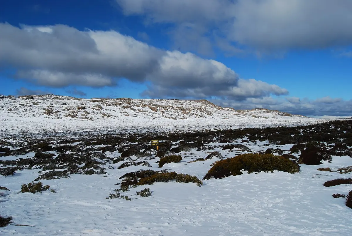
Ben Lomond National Park
Ben Lomond National Park is a national park about 14 km from Rossarden, Tasmania. It is managed by Tasmania Parks & Wildlife Service. Location data © OpenStreetMap contributors, available under the ODbL.
AustraliaWeb: Your Guide to Accessible & Family Travel in Australia
Ben Lomond National Park is a national park about 14 km from Rossarden, Tasmania. It is managed by Tasmania Parks & Wildlife Service. Location data © OpenStreetMap contributors, available under the ODbL.
Batmans Lookout is a mountain & peak about 10 km from Rossarden, Tasmania. Location data © OpenStreetMap contributors, available under the ODbL.
Bomford Crag is a mountain & peak about 11 km from Rossarden, Tasmania. Location data © OpenStreetMap contributors, available under the ODbL.
Mount Rex is a mountain & peak about 7 km from Rossarden, Tasmania. It rises to about 800 m above sea level. Location data © OpenStreetMap contributors, available under the ODbL.
Storys Falls is a waterfall about 4 km from Rossarden, Tasmania. Location data © OpenStreetMap contributors, available under the ODbL.
Asgard Crag is a mountain & peak about 9 km from Rossarden, Tasmania. It rises to about 1390 m above sea level. Location data © OpenStreetMap contributors, available under the ODbL.
Denison Crag is a mountain & peak about 7 km from Rossarden, Tasmania. It rises to about 1458 m above sea level. Location data © OpenStreetMap contributors, available under the ODbL.
Dogshead Crag is a mountain & peak about 12 km from Rossarden, Tasmania. It rises to about 1070 m above sea level. Location data © OpenStreetMap contributors, available under the ODbL.
Heimdall Crag is a mountain & peak about 10 km from Rossarden, Tasmania. It rises to about 1380 m above sea level. Location data © OpenStreetMap contributors, available under the ODbL.
Magnet Crag is a mountain & peak about 16 km from Rossarden, Tasmania. It rises to about 1464 m above sea level. Location data © OpenStreetMap contributors, available under the ODbL.