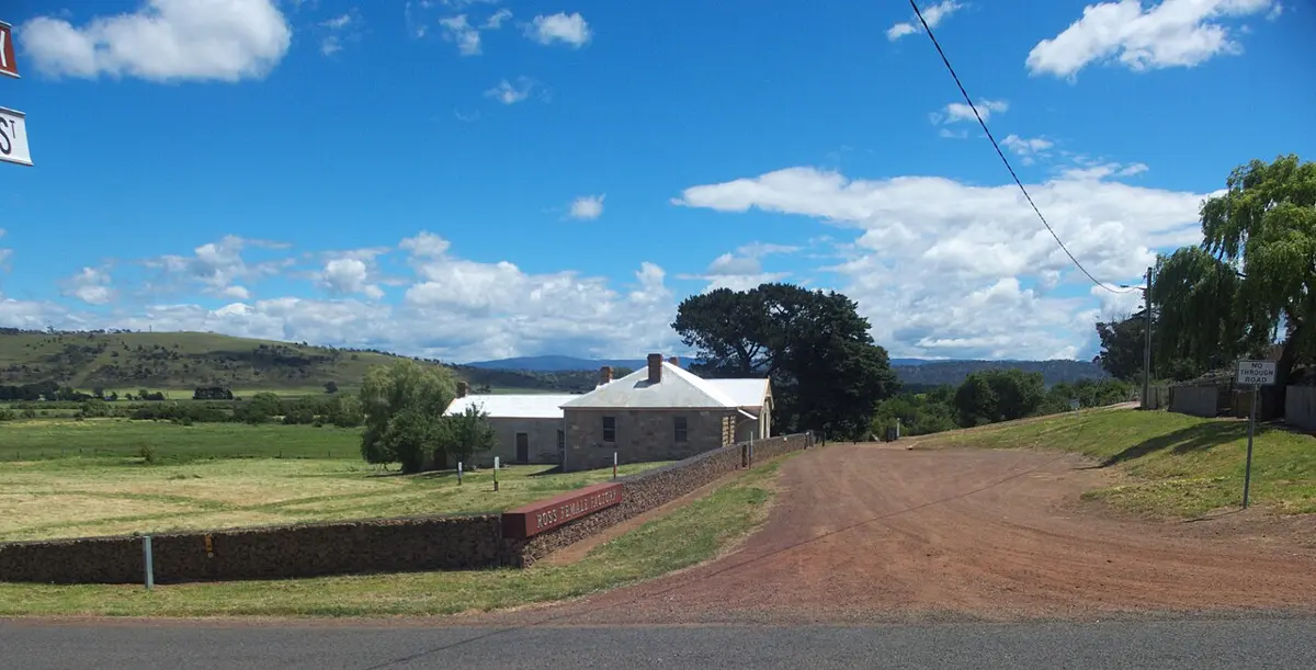
Former St. John’s Schoolhouse
Former St. John's Schoolhouse is a historic site near Ross, Tasmania. Location data © OpenStreetMap contributors, available under the ODbL.
AustraliaWeb: Your Guide to Accessible & Family Travel in Australia
Former St. John's Schoolhouse is a historic site near Ross, Tasmania. Location data © OpenStreetMap contributors, available under the ODbL.
Tasmanian Wool Centre is an attraction near Ross, Tasmania. Location data © OpenStreetMap contributors, available under the ODbL.
Ross Female Factory is a museum & gallery near Ross, Tasmania. Listed opening hours: Mo-Fr 09:30-16:00; Sa,Su 10:00-16:00. Entry is listed as free. Location data © OpenStreetMap contributors, available under the ODbL.
Ross Female Convict Station Historic Site is a historic site near Ross, Tasmania. Location data © OpenStreetMap contributors, available under the ODbL.
Dial a local is an attraction near Ross, Tasmania. Official website Location data © OpenStreetMap contributors, available under the ODbL.
Ross Bridge is a lookout near Ross, Tasmania. Location data © OpenStreetMap contributors, available under the ODbL.
The Quoin is a mountain & peak about 20 km from Ross, Tasmania. It rises to about 568 m above sea level. Location data © OpenStreetMap contributors, available under the ODbL.
Trefusis Sugarloaf is a mountain & peak about 22 km from Ross, Tasmania. It rises to about 522 m above sea level. Location data © OpenStreetMap contributors, available under the ODbL.
Stringy Bark Hill is a mountain & peak about 15 km from Ross, Tasmania. It rises to about 618 m above sea level. Location data © OpenStreetMap contributors, available under the ODbL.
Sapling Hill is a mountain & peak about 11 km from Ross, Tasmania. It rises to about 527 m above sea level. Location data © OpenStreetMap contributors, available under the ODbL.