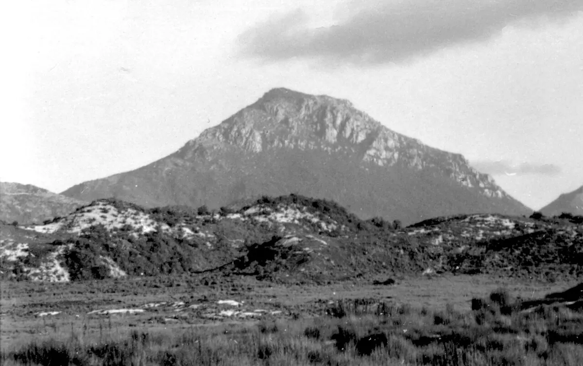
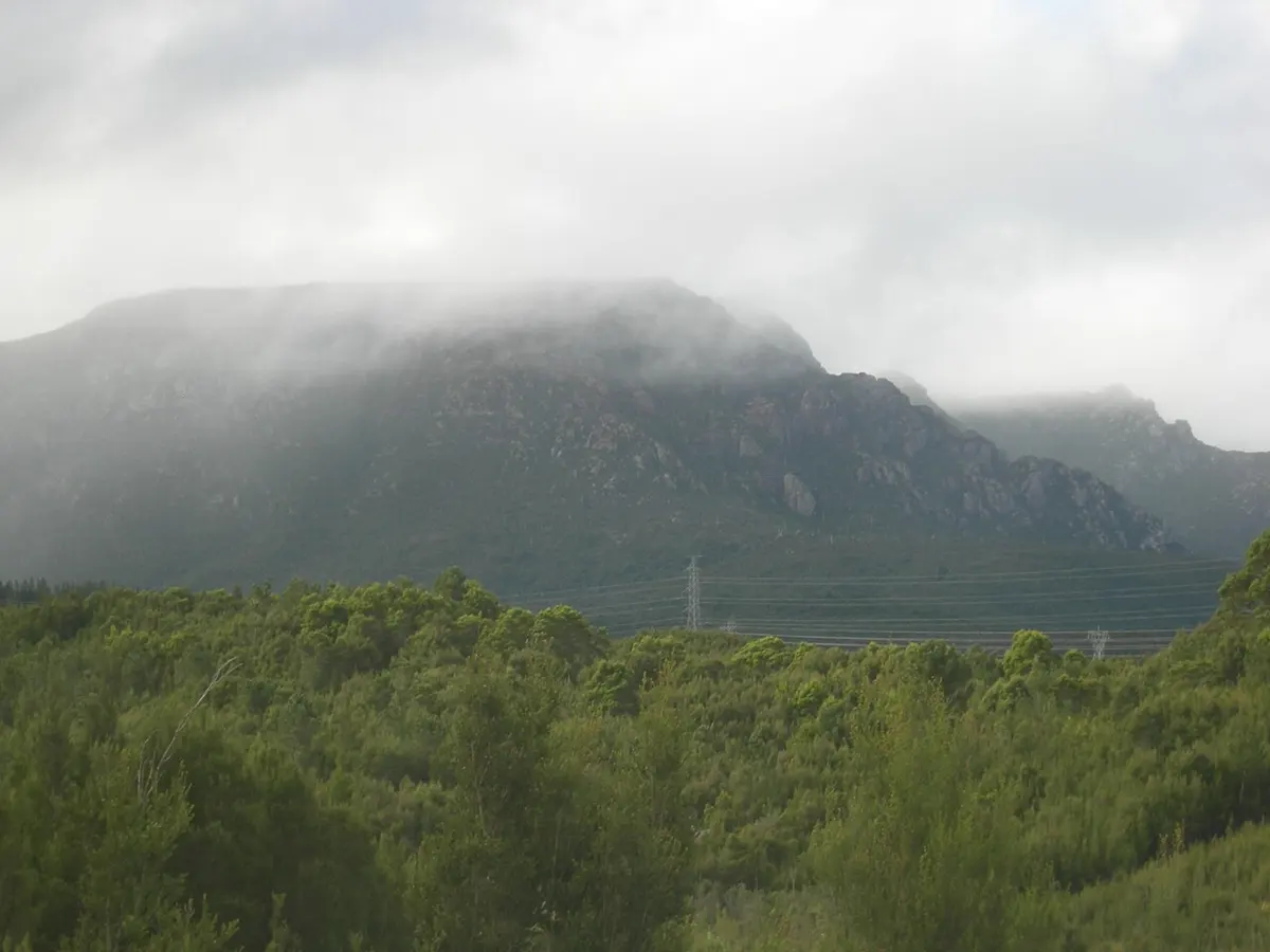
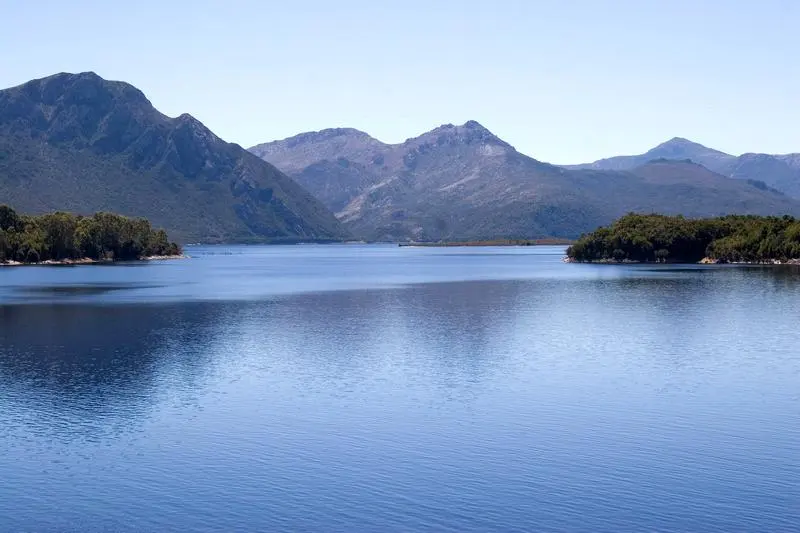
South Darwin Peak
South Darwin Peak is a mountain & peak about 24 km from Queenstown, Tasmania. It rises to about 780 m above sea level. Location data © OpenStreetMap contributors, available under the ODbL.
AustraliaWeb: Your Guide to Accessible & Family Travel in Australia
South Darwin Peak is a mountain & peak about 24 km from Queenstown, Tasmania. It rises to about 780 m above sea level. Location data © OpenStreetMap contributors, available under the ODbL.
Mount Strahan is a mountain & peak about 18 km from Queenstown, Tasmania. It rises to about 855 m above sea level. Location data © OpenStreetMap contributors, available under the ODbL.
Mount Huxley is a mountain & peak about 7 km from Queenstown, Tasmania. It rises to about 925 m above sea level. Location data © OpenStreetMap contributors, available under the ODbL.
Nelson Falls is a waterfall about 15 km from Queenstown, Tasmania. Location data © OpenStreetMap contributors, available under the ODbL.
Flat Bluff is a mountain & peak about 23 km from Queenstown, Tasmania. It rises to about 1060 m above sea level. Location data © OpenStreetMap contributors, available under the ODbL.
Mount Sedgwick is a mountain & peak about 10 km from Queenstown, Tasmania. It rises to about 1146 m above sea level. Location data © OpenStreetMap contributors, available under the ODbL.
Sedgwick Bluff is a mountain & peak about 8 km from Queenstown, Tasmania. It rises to about 1019 m above sea level. Location data © OpenStreetMap contributors, available under the ODbL.
Marble Bluff is a mountain & peak about 13 km from Queenstown, Tasmania. It rises to about 830 m above sea level. Location data © OpenStreetMap contributors, available under the ODbL.
Mount Lyell is a mountain & peak about 6 km from Queenstown, Tasmania. It rises to about 917 m above sea level. Location data © OpenStreetMap contributors, available under the ODbL.
Mount Owen is a mountain & peak about 4 km from Queenstown, Tasmania. It rises to about 1146 m above sea level. Location data © OpenStreetMap contributors, available under the ODbL.