Point Nepean National Park
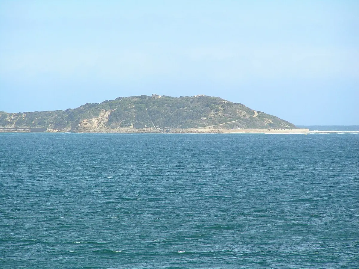
Point Nepean National Park is a national park about 2 km from Portsea, Victoria. It is managed by Parks Victoria. Location data © OpenStreetMap contributors, available under the ODbL.
AustraliaWeb: Your Guide to Accessible & Family Travel in Australia
Point Nepean National Park is a national park about 2 km from Portsea, Victoria. It is managed by Parks Victoria. Location data © OpenStreetMap contributors, available under the ODbL.
Shelley Beach is a beach about 2 km from Portsea, Victoria. Location data © OpenStreetMap contributors, available under the ODbL.
Portsea Back Beach is a beach about 2 km from Portsea, Victoria. Location data © OpenStreetMap contributors, available under the ODbL.
Portsea Front Beach is a beach about 1 km from Portsea, Victoria. Location data © OpenStreetMap contributors, available under the ODbL.
25 Metre Range is a historic site about 2 km from Portsea, Victoria. Location data © OpenStreetMap contributors, available under the ODbL.
Rifle Range is a historic site about 2 km from Portsea, Victoria. Location data © OpenStreetMap contributors, available under the ODbL.
Police Point Lookout is a lookout near Portsea, Victoria. Location data © OpenStreetMap contributors, available under the ODbL.
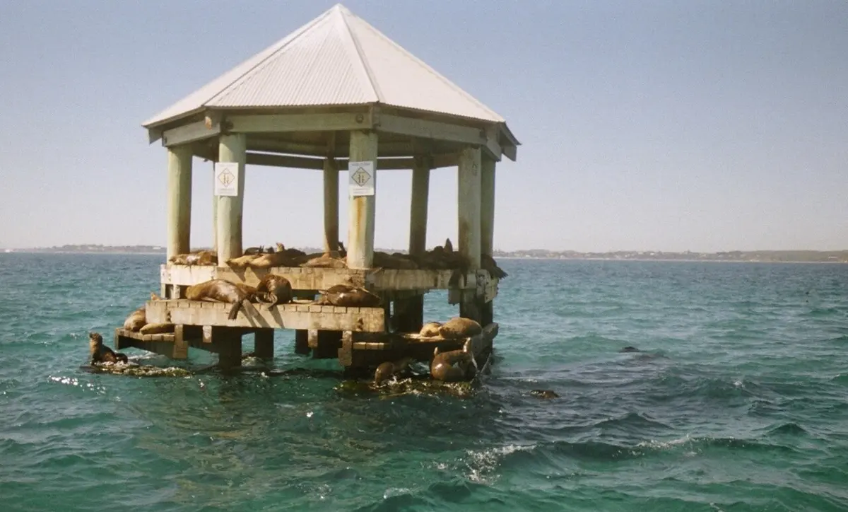
Chinaman's Hat is an attraction about 5 km from Portsea, Victoria. Location data © OpenStreetMap contributors, available under the ODbL.
Cheviot Hill is a lookout about 3 km from Portsea, Victoria. It rises to about 54 m above sea level. Location data © OpenStreetMap contributors, available under the ODbL.
Norris Barracks is a historic site about 1 km from Portsea, Victoria. Location data © OpenStreetMap contributors, available under the ODbL.